Runway & Layout

Runways · 1
| Runway | Dimensions | Surface | True heading | Lit |
|---|---|---|---|---|
| 04/22 | 8,530 × 148ft | asphalt | — | ✓ |
Airport Specifications
Airport class
Medium airport
Scheduled service
Yes
Runway surface
asphalt
Served city
Zhaotong (Zhaoyang)
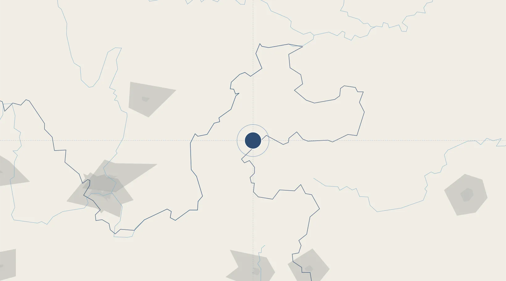
Location
Nearby Logistics Neighbours
Airports
Cities
- 1Vietnam Lee & Man Port108 km
- 2Yibin181 km
- 3Qujing205 km
- 4Panzhihuazhan219 km
- 5Luzhou238 km
Ports
- 1Hai Phong772 km
- 2Fang-Cheng775 km
- 3Hon Gai785 km
- 4Cam Pha790 km
- 5Qinzhou791 km
Trade Zones
DatabookThe Record of Consolidated Knowledge
China beyond logistics?