Export Processing Zone · China
Yongren County Industrial Park: Chuxiong Prefecture Active
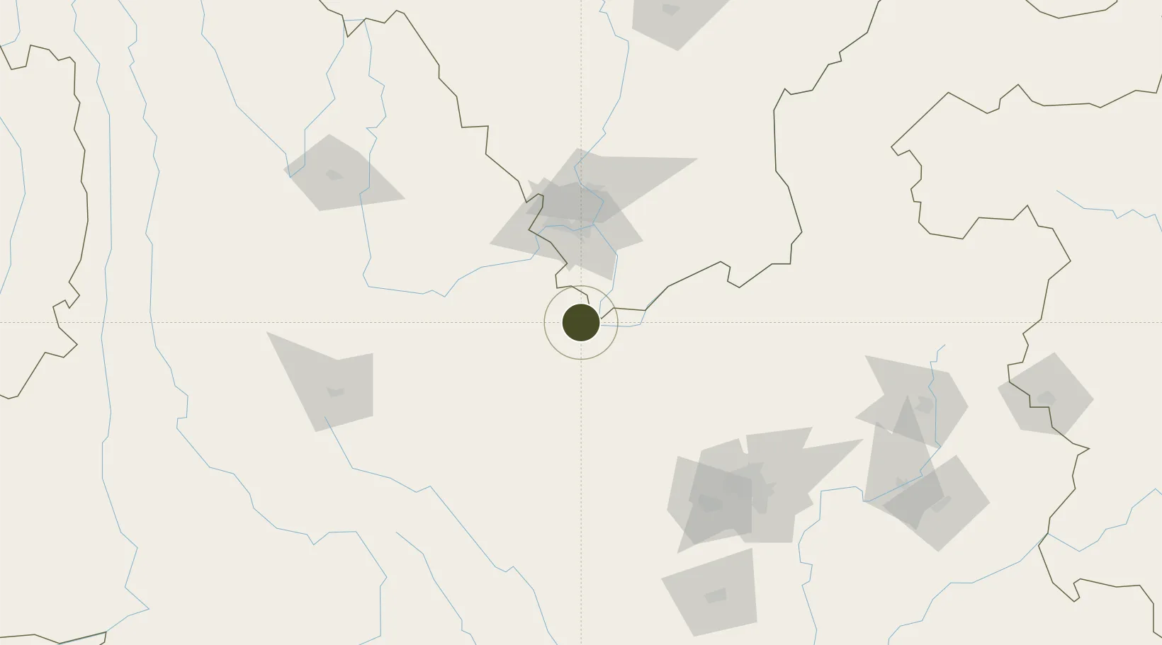
26.0111°, 101.7274°
1,693 ha
Zone area
759.0 km
Nearest port
34.1 km
Nearest airport
Gateway access
Zone profile
Zone type
Export Processing Zone
Region
Yunnan
Status
Active
Management
Public
Operator
Yongren County Industrial Park Management Committee
Legal framework
Chuxiong Prefecture People’s Government’s notice of the Provincial People’s Government on Accelerating the Construction of Standard Factory Buildings in Industrial Parks (Chu Zhengtong [2010] No. 18), Yunnan Provincial Committee of the Communist Party of
Location
Nearby Logistics Neighbours
Ports
- 1Hai Phong759 km
- 2Hon Gai783 km
- 3Cam Pha798 km
- 4Fang-Cheng823 km
- 5Qinzhou844 km
Airports
- 1Yuanmou Air Base34 km
- 2Panzhihua Bao'anying Airport59 km
- 3Xiangyun Midu Air Base118 km
- 4Dali Fengyi Airport147 km
- 5Kunming Changshui International Airport157 km
Cities
- 1Panzhihuazhan62 km
- 2Anning145 km
- 3Yunnan Tengjun International Land Port Logistics Center168 km
- 4Yuxi201 km
- 5Qujing214 km
DatabookThe Record of Consolidated Knowledge
China beyond logistics?