Export Processing Zone · China

Fengdu Industrial Park Active
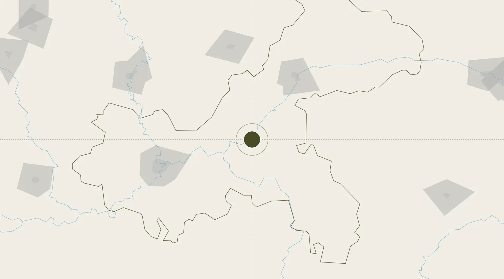
29.9236°, 107.7874°
200 ha
Zone area
628.1 km
Nearest port
51.7 km
Nearest airport

Gateway access

Nearest neighbours — logibook spatial index (haversine) over the source coordinates

Zone profile

Zone type
Export Processing Zone
Open Zone Map
Region
Chongqing
Open Zone Map
Status
Active
Open Zone Map
Management
Public
Open Zone Map
Operator
Management Committee of Chonging Fengdu Industrial Park
Open Zone Map
Legal framework
Chongqing Fengdu Industrial Park is a municipal characteristic industrial park approved by Chongqing Municipal People's Government (No. 169, Yufu [2003]).
Open Zone Map

Location

Location of ozm-1060
Natural Earth 10m (public domain) · Chongqing · ozm-1060 · 29.92, 107.79GoogleOSMYandex

Nearby Logistics Neighbours

Ports
  1. 1Hankow628 km
  2. 2Fang-Cheng911 km
  3. 3Qinzhou914 km
  4. 4Guangzhou931 km
  5. 5Huangpu944 km
Nearest neighbours — logibook spatial index (haversine) over the source coordinates
Airports
  1. 1Chongqing Xiannüshan Airport52 km
  2. 2Qianjiang Wulingshan Airport111 km
  3. 3Chongqing Jiangbei International Airport112 km
  4. 4Wanzhou Wuqiao Airport116 km
  5. 5Dazhou Jinya Airport130 km
Nearest neighbours — logibook spatial index (haversine) over the source coordinates
Cities
  1. 1Fuling46 km
  2. 2Chongqing120 km
  3. 3Enshi168 km
  4. 4Suining227 km
  5. 5Jiangsi229 km
Nearest neighbours — logibook spatial index (haversine) over the source coordinates
Trade Zones
  1. 1Shizhu Industrial Park32 km
  2. 2Baitao Industrial Park45 km
  3. 3Zhongxian Industrial Park50 km
  4. 4Fuling Industrial Park52 km
  5. 5Dianjiang Industrial Park59 km
Nearest neighbours — logibook spatial index (haversine) over the source coordinates
DatabookThe Record of Consolidated Knowledge
China beyond logistics?
Browse databook

All Sources

Trade ZonesOpen Zone Map
CC BY
Portsthe NGA World Port Index
Public domain (US gov)
AirportsOurAirports
Public domain
LocationsUN/LOCODE
UN/LOCODE — free
← China trade zones