Runway & Layout

Runways · 1
| Runway | Dimensions | Surface | True heading | Lit |
|---|---|---|---|---|
| 18/36 | 8,104 × —ft | — | — | — |
Airport Specifications
IATA code
SYM
ICAO code
ZPSM
Airport class
Small airport
Scheduled service
Yes
Served city
Pu'er
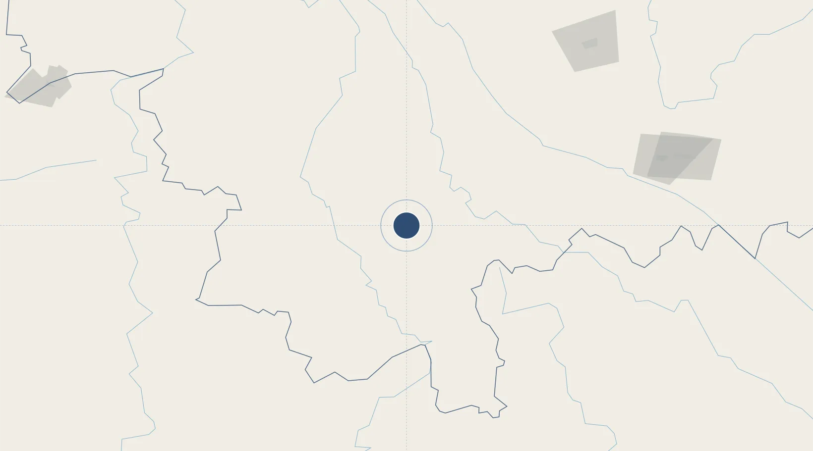
Location
Nearby Logistics Neighbours
Airports
- 1Xishuangbanna Gasa International Airport93 km
- 2Lancang Jingmai Airport128 km
- 3Lincang Boshang Airport142 km
- 4Cangyuan Washan Airport171 km
- 5Luang Namtha Airport208 km
Cities
- 1Simao1 km
- 2Jiangcheng Mengkang84 km
- 3Jinghong88 km
- 4Boten195 km
- 5Nateuy206 km
Ports
- 1Hai Phong627 km
- 2Hon Gai663 km
- 3Nghe Tinh671 km
- 4Cam Pha689 km
- 5Fang-Cheng769 km
Trade Zones
DatabookThe Record of Consolidated Knowledge
China beyond logistics?