Economic Zone · Vietnam
Moc Bai Border Gate Economic Zone
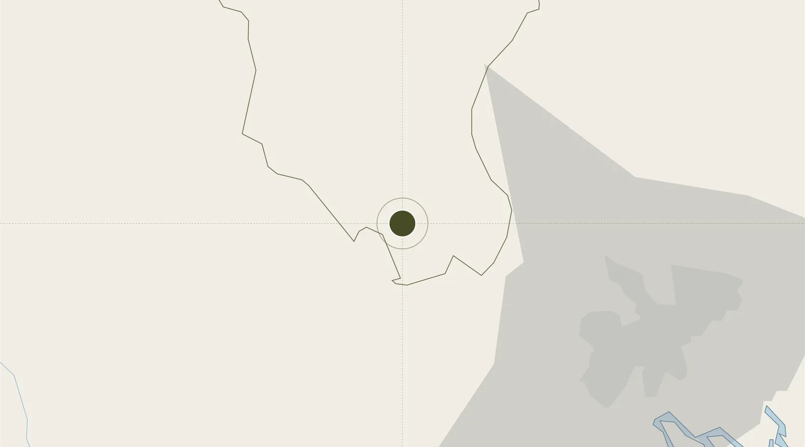
11.0951°, 106.1923°
67.9 km
Nearest port
58.8 km
Nearest airport
Gateway access
Zone profile
Zone type
Economic Zone
Region
Tây Ninh
Established
1999
Management
Public agency
Operator
Moc Bai Border Gate Economic Zone Management Board
Regulatory authority
Prime Minister
Legal framework
Law on Foreign Investment in Vietnam, 1996; Decree No. 36/1997/CP on The Regulation of Industrial, Economic and Export processing zones
Location
Fiscal & incentives
Corporate tax
20%
Tax relief
100% exempt
Relief duration
4 years
VAT
No exemption
Import duty (inputs)
0% exempt
Import duty (capex)
100% exempt
Profit repatriation
No exemption
Capital gains
No exemption
Withholding tax
No exemption
Min. investment
None
Min. export
0%
Employment incentive
No exemption
Developer incentive
No established framework
Nearby Logistics Neighbours
Ports
- 1Thanh Ho Chi Minh68 km
- 2Thanh Hoa70 km
- 3Cat Lai75 km
- 4Phu My108 km
- 5Vung Tau129 km
Airports
Cities
- 1Tay Ninh25 km
- 2Thu Dau Mot52 km
- 3Tan Binh60 km
- 4Phu Giáo61 km
- 5Phú Nhuan62 km
DatabookThe Record of Consolidated Knowledge
Vietnam beyond logistics?