Transport Functions
Port
Road
Hub Profile
Place type
Populated place
Region
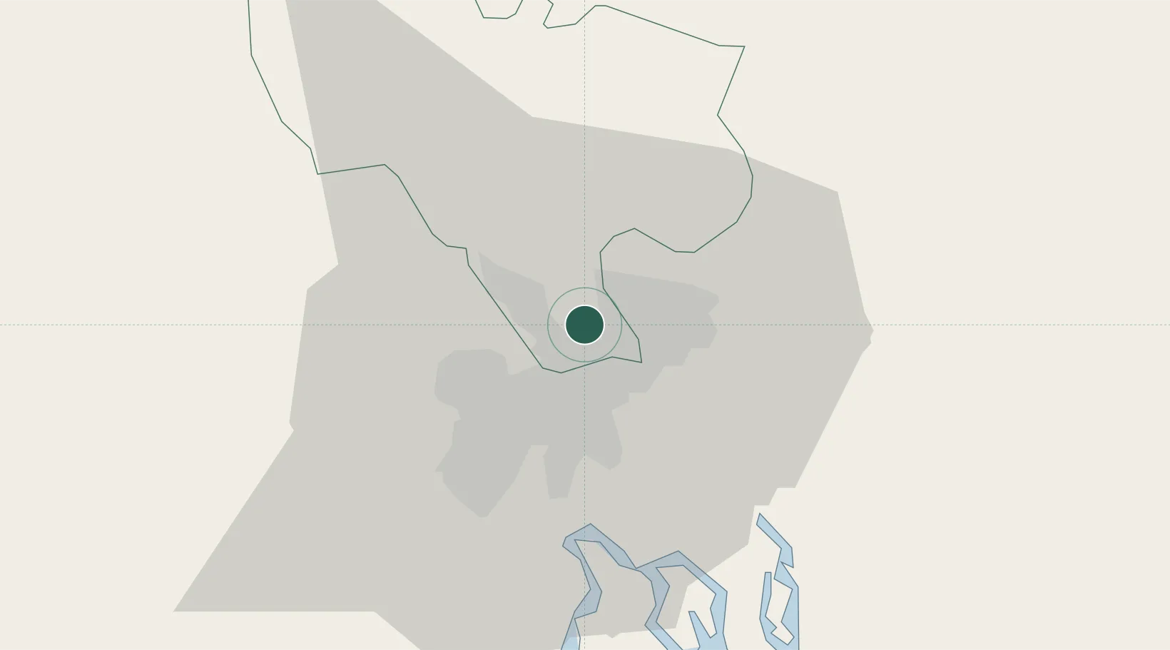
Can Tho City
Time zone
Asia/Ho_Chi_Minh
Elevation
6 m
Logistics facilities
15
Location
Nearby Logistics Neighbours
Cities
- 1Di An4 km
- 2Long Binh Tan8 km
- 3Binh Duong Terminal9 km
- 4Dong Nai11 km
- 5Sai Gon Port11 km
Ports
- 1Thanh Hoa13 km
- 2Thanh Ho Chi Minh20 km
- 3Cat Lai21 km
- 4Phu My49 km
- 5Vung Tau76 km
Airports
Trade Zones
DatabookThe Record of Consolidated Knowledge
Vietnam beyond logistics?