Industrial Zone · Vietnam

Tinh Phong Industrial Park Active
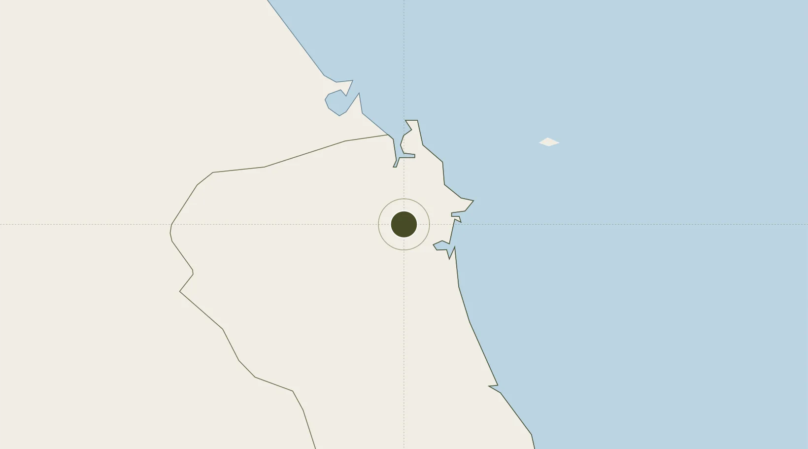
15.1973°, 108.7969°
142 ha
Zone area
118.0 km
Nearest port
24.9 km
Nearest airport

Gateway access

Nearest neighbours — logibook spatial index (haversine) over the source coordinates

Zone profile

Zone type
Industrial Zone
the World Bank SEZ database
Region
Quảng Ngãi
the World Bank SEZ database
Status
Active
the World Bank SEZ database
Established
1997
the World Bank SEZ database
Management
Public agency
the World Bank SEZ database
Operator
Quang Ngai Industrial Zones Management Board
the World Bank SEZ database
Regulatory authority
Chairmen of Provincial People's Committees
the World Bank SEZ database
Legal framework
Law on Foreign Investment in Vietnam, 1996; Decree No. 36/1997/CP on The Regulation of Industrial, Economic and Export processing zones
the World Bank SEZ database

Location

Location of VNM148
Natural Earth 10m (public domain) · Quảng Ngãi · VNM148 · 15.20, 108.80GoogleOSMYandex

Fiscal & incentives

Corporate tax
20%
the World Bank SEZ database
Tax relief
100% exempt
the World Bank SEZ database
Relief duration
4 years
the World Bank SEZ database
VAT
No exemption
the World Bank SEZ database
Import duty (inputs)
0% exempt
the World Bank SEZ database
Import duty (capex)
100% exempt
the World Bank SEZ database
Profit repatriation
No exemption
the World Bank SEZ database
Capital gains
No exemption
the World Bank SEZ database
Withholding tax
No exemption
the World Bank SEZ database
Min. investment
None
the World Bank SEZ database
Min. export
0%
the World Bank SEZ database
Employment incentive
No exemption
the World Bank SEZ database
Developer incentive
No established framework
the World Bank SEZ database

Nearby Logistics Neighbours

Ports
  1. 1Da Nang118 km
  2. 2Qui Nhon166 km
  3. 3Nha Trang331 km
  4. 4Sanya354 km
  5. 5Vinh Cam Ranh371 km
Nearest neighbours — logibook spatial index (haversine) over the source coordinates
Airports
  1. 1Chu Lai Airport25 km
  2. 2Da Nang International Airport114 km
  3. 3Phu Cat Airport141 km
  4. 4Pleiku Airport157 km
  5. 5Phu Bai International Airport178 km
Nearest neighbours — logibook spatial index (haversine) over the source coordinates
Cities
  1. 1Dung Quat25 km
  2. 2Ky Ha Quang Nam Terminal32 km
  3. 3Ky Ha Terminal34 km
  4. 4Thuan An36 km
  5. 5Hoa Vang85 km
Nearest neighbours — logibook spatial index (haversine) over the source coordinates
Trade Zones
  1. 1Quang Phu Industrial Park9 km
  2. 2Dung Quat Economic Zone18 km
  3. 3Thaco Industrial Park35 km
  4. 4Pho Phong Industrial Zone38 km
  5. 5Thuan Yen Industrial Park54 km
Nearest neighbours — logibook spatial index (haversine) over the source coordinates
DatabookThe Record of Consolidated Knowledge
Vietnam beyond logistics?
Browse databook

All Sources

Trade Zonesthe World Bank SEZ database
CC BY 4.0
Portsthe NGA World Port Index
Public domain (US gov)
AirportsOurAirports
Public domain
LocationsUN/LOCODE
UN/LOCODE — free
← Vietnam trade zones