Free Zone · Thailand

Lat Krabang Industrial Estate Active
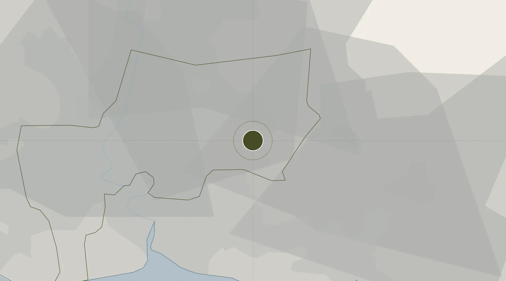
13.7700°, 100.7913°
196 ha
Zone area
31.5 km
Nearest port
11.0 km
Nearest airport

Gateway access

Nearest neighbours — logibook spatial index (haversine) over the source coordinates

Zone profile

Zone type
Free Zone
the World Bank SEZ database
Region
Bangkok Metropolis
the World Bank SEZ database
Status
Active
the World Bank SEZ database
Established
1978
the World Bank SEZ database
Management
Public agency
the World Bank SEZ database
Operator
Industrial Estate Authority of Thailand
the World Bank SEZ database
Regulatory authority
Industrial Estate Authority of Thailand
the World Bank SEZ database
Legal framework
Industrial Estate Authority of Thailand Act
the World Bank SEZ database

Location

Location of THA25
Natural Earth 10m (public domain) · Bangkok Metropolis · THA25 · 13.77, 100.79GoogleOSMYandex

Fiscal & incentives

Corporate tax
20%
the World Bank SEZ database
Tax relief
No exemption
the World Bank SEZ database
Relief duration
No exemption
the World Bank SEZ database
VAT
100% exempt from VAT and excise tax on imported raw materials and machinery
the World Bank SEZ database
Import duty (inputs)
100% exempt
the World Bank SEZ database
Import duty (capex)
100% exempt
the World Bank SEZ database
Profit repatriation
No exemption
the World Bank SEZ database
Capital gains
No exemption
the World Bank SEZ database
Withholding tax
No exemption
the World Bank SEZ database
Min. investment
None
the World Bank SEZ database
Min. export
100%
the World Bank SEZ database
Employment incentive
No exemption
the World Bank SEZ database
Developer incentive
No established framework
the World Bank SEZ database

Nearby Logistics Neighbours

Ports
  1. 1Bangkok32 km
  2. 2Ko Si Chang Terminal67 km
  3. 3Si Racha Terminal68 km
  4. 4Siam Seaport72 km
  5. 5Laem Chabang77 km
Nearest neighbours — logibook spatial index (haversine) over the source coordinates
Airports
  1. 1Suvarnabhumi Airport11 km
  2. 2Don Mueang International Airport25 km
  3. 3Kamphaeng Saen Airport101 km
  4. 4U-Tapao–Rayong–Pattaya International Airport123 km
  5. 5Khok Kathiam Airport124 km
Nearest neighbours — logibook spatial index (haversine) over the source coordinates
Cities
  1. 1Lat Krabang5 km
  2. 2Samut Prakan12 km
  3. 3Bangkok20 km
  4. 4Phra Khanong22 km
  5. 5Siam Bangkok Port27 km
Nearest neighbours — logibook spatial index (haversine) over the source coordinates
Trade Zones
  1. 1Bangchan Industrial Estate10 km
  2. 2Gemopolis Industrial Estate14 km
  3. 3Asia Industrial Estate Suvarnabhumi17 km
  4. 4Banbung Patana Industrial Estate20 km
  5. 5V.R.M. Ratchaburi Industrial Estate20 km
Nearest neighbours — logibook spatial index (haversine) over the source coordinates
DatabookThe Record of Consolidated Knowledge
Thailand beyond logistics?
Browse databook

All Sources

Trade Zonesthe World Bank SEZ database
CC BY 4.0
Portsthe NGA World Port Index
Public domain (US gov)
AirportsOurAirports
Public domain
LocationsUN/LOCODE
UN/LOCODE — free
← Thailand trade zones