Free Trade Zone · South Korea

Busan Northern Port Free Trade Zone Active
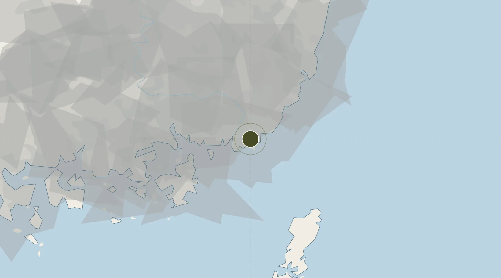
35.1188°, 129.0626°
307 ha
Zone area
3.4 km
Nearest port
13.2 km
Nearest airport

Gateway access

Nearest neighbours — logibook spatial index (haversine) over the source coordinates

Zone profile

Zone type
Free Trade Zone
Open Zone Map
Region
Busan
Open Zone Map
Status
Active
Open Zone Map
Management
Public
Open Zone Map
Operator
Busan-Jinhae Free Economic Zone Authority
Open Zone Map
Legal framework
Act On Designation And Management Of Free Trade Zones Expand Act No. 14113, Mar. 29, 2016.
Open Zone Map

Location

Location of ozm-4268
Natural Earth 10m (public domain) · Busan · ozm-4268 · 35.12, 129.06GoogleOSMYandex

Nearby Logistics Neighbours

Ports
  1. 1Busan3 km
  2. 2Chinae38 km
  3. 3Masan46 km
  4. 4Ulsan48 km
  5. 5Izuhara105 km
Nearest neighbours — logibook spatial index (haversine) over the source coordinates
Airports
  1. 1Gimhae International Airport13 km
  2. 2Ulsan Airport59 km
  3. 3Sacheon Airport / Sacheon Air Base90 km
  4. 4Daegu International Airport94 km
  5. 5Tsushima Airport96 km
Nearest neighbours — logibook spatial index (haversine) over the source coordinates
Cities
  1. 1Busanjin-Gu4 km
  2. 2Gamcheon/Busan7 km
  3. 3South Busan9 km
  4. 4Busan9 km
  5. 5Gijang-gun/Busan19 km
Nearest neighbours — logibook spatial index (haversine) over the source coordinates
DatabookThe Record of Consolidated Knowledge
South Korea beyond logistics?
Browse databook

All Sources

Trade ZonesOpen Zone Map
CC BY
Portsthe NGA World Port Index
Public domain (US gov)
AirportsOurAirports
Public domain
LocationsUN/LOCODE
UN/LOCODE — free
← South Korea trade zones