UN/LOCODE hub · India
INCGI

MWCDL-IT-SEZ/Chengalpattu

12.7000°, 79.9833°
1
Transport functions

Transport Functions

Multimodal
UN/LOCODE

Hub Profile

Region
TN
GeoNames

Location

Location of INCGI
Natural Earth 10m (public domain) · TN · INCGI · 12.70, 79.98GoogleOSMYandex

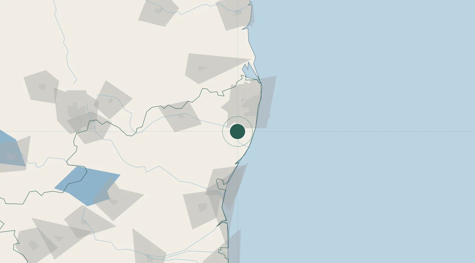
Nearby Logistics Neighbours

Cities
  1. 1MWCDL-Apparels-SEZ/Chengalpattu0 km
  2. 2MWCDL-Auto-Ancillaries-SEZ/Chengalpattu0 km
  3. 3Attur5 km
  4. 4Snpip Sez/Tambaram27 km
  5. 5Sriperumbudur30 km
Nearest neighbours — logibook spatial index (haversine) over the source coordinates
Ports
  1. 1Chennai (Madras)56 km
  2. 2Kamarajar Port74 km
  3. 3Pondicherry87 km
  4. 4Cuddalore112 km
  5. 5Kattupalli Port173 km
Nearest neighbours — logibook spatial index (haversine) over the source coordinates
Airports
  1. 1Chennai International Airport38 km
  2. 2Pondicherry Airport84 km
  3. 3Tirupati International Airport114 km
  4. 4Salem Airport232 km
  5. 5Kadapa Airport241 km
Nearest neighbours — logibook spatial index (haversine) over the source coordinates
DatabookThe Record of Consolidated Knowledge
India beyond logistics?
Browse databook

All Sources

LocationsUN/LOCODE
UN/LOCODE — free
Portsthe NGA World Port Index
Public domain (US gov)
AirportsOurAirports
Public domain
Trade Zonesthe World Bank SEZ database
CC BY 4.0
Trade ZonesOpen Zone Map
CC BY
← India locations