UN/LOCODE hub · India
INPVS

Snpip Sez/Tambaram

12.9167°, 80.1000°
1
Transport functions

Transport Functions

Multimodal
UN/LOCODE

Hub Profile

Region
TN
GeoNames

Location

Location of INPVS
Natural Earth 10m (public domain) · TN · INPVS · 12.92, 80.10GoogleOSMYandex

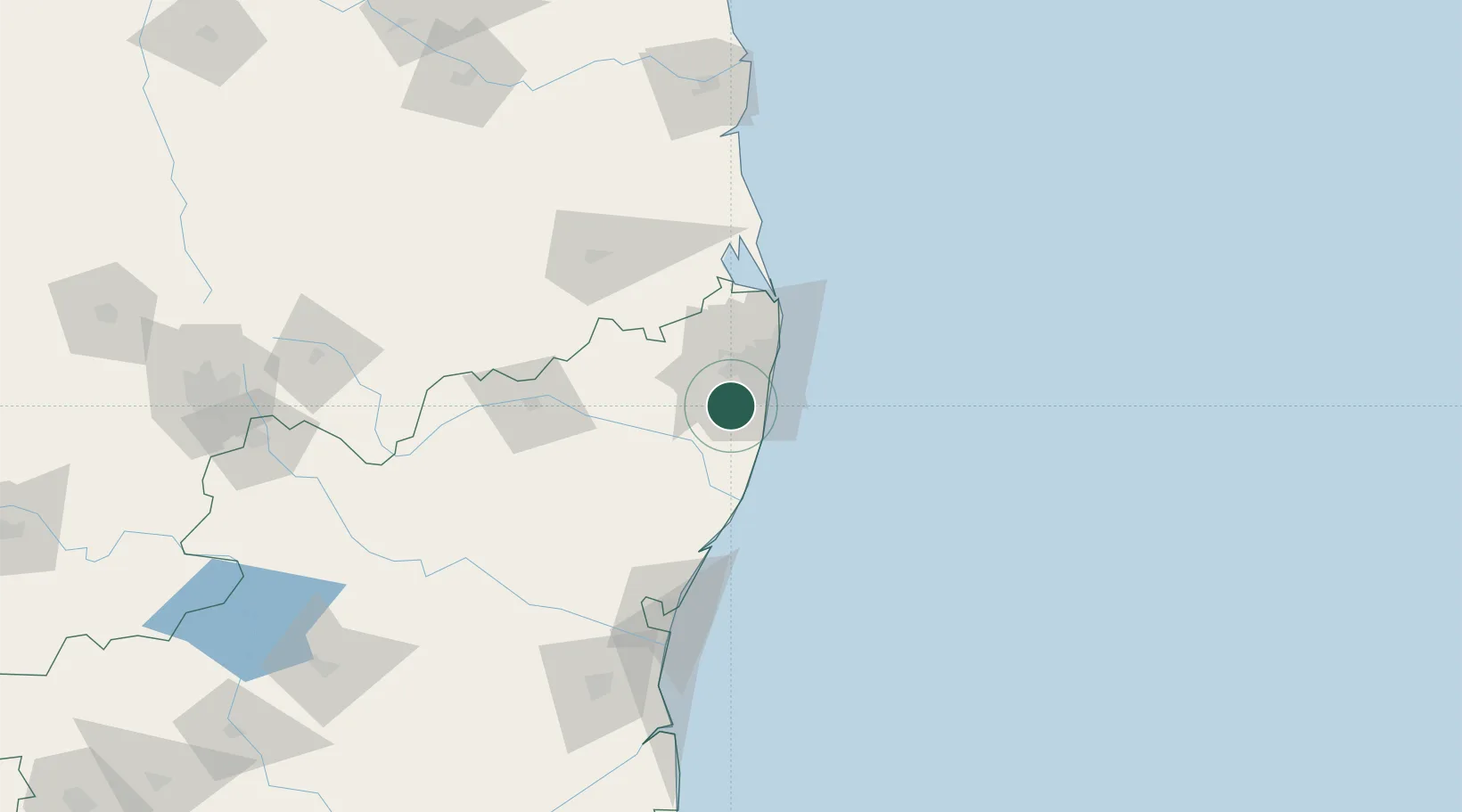
Nearby Logistics Neighbours

Cities
  1. 1Adambakkam13 km
  2. 2Irungattukottai-Ilp-ICD15 km
  3. 3Irungattukottai16 km
  4. 4Sriperumbudur17 km
  5. 5Kottivakkam17 km
Nearest neighbours — logibook spatial index (haversine) over the source coordinates
Ports
  1. 1Chennai (Madras)30 km
  2. 2Kamarajar Port47 km
  3. 3Pondicherry113 km
  4. 4Cuddalore138 km
  5. 5Kattupalli Port148 km
Nearest neighbours — logibook spatial index (haversine) over the source coordinates
Airports
  1. 1Chennai International Airport11 km
  2. 2Tirupati International Airport100 km
  3. 3Pondicherry Airport110 km
  4. 4Kadapa Airport228 km
  5. 5Salem Airport254 km
Nearest neighbours — logibook spatial index (haversine) over the source coordinates
Trade Zones
  1. 1MEPZ Special Economic Zone4 km
  2. 2Electronics Corporation of Tamil Nadu Limited (ELCOT)14 km
  3. 3Cognizant Technology Solutions India Pvt. Ltd.14 km
  4. 4Hexaware Technologies Limited14 km
  5. 5DLF Info City14 km
Nearest neighbours — logibook spatial index (haversine) over the source coordinates
DatabookThe Record of Consolidated Knowledge
India beyond logistics?
Browse databook

All Sources

LocationsUN/LOCODE
UN/LOCODE — free
Portsthe NGA World Port Index
Public domain (US gov)
AirportsOurAirports
Public domain
Trade Zonesthe World Bank SEZ database
CC BY 4.0
Trade ZonesOpen Zone Map
CC BY
← India locations