Transport Functions
Port
Multimodal
Hub Profile
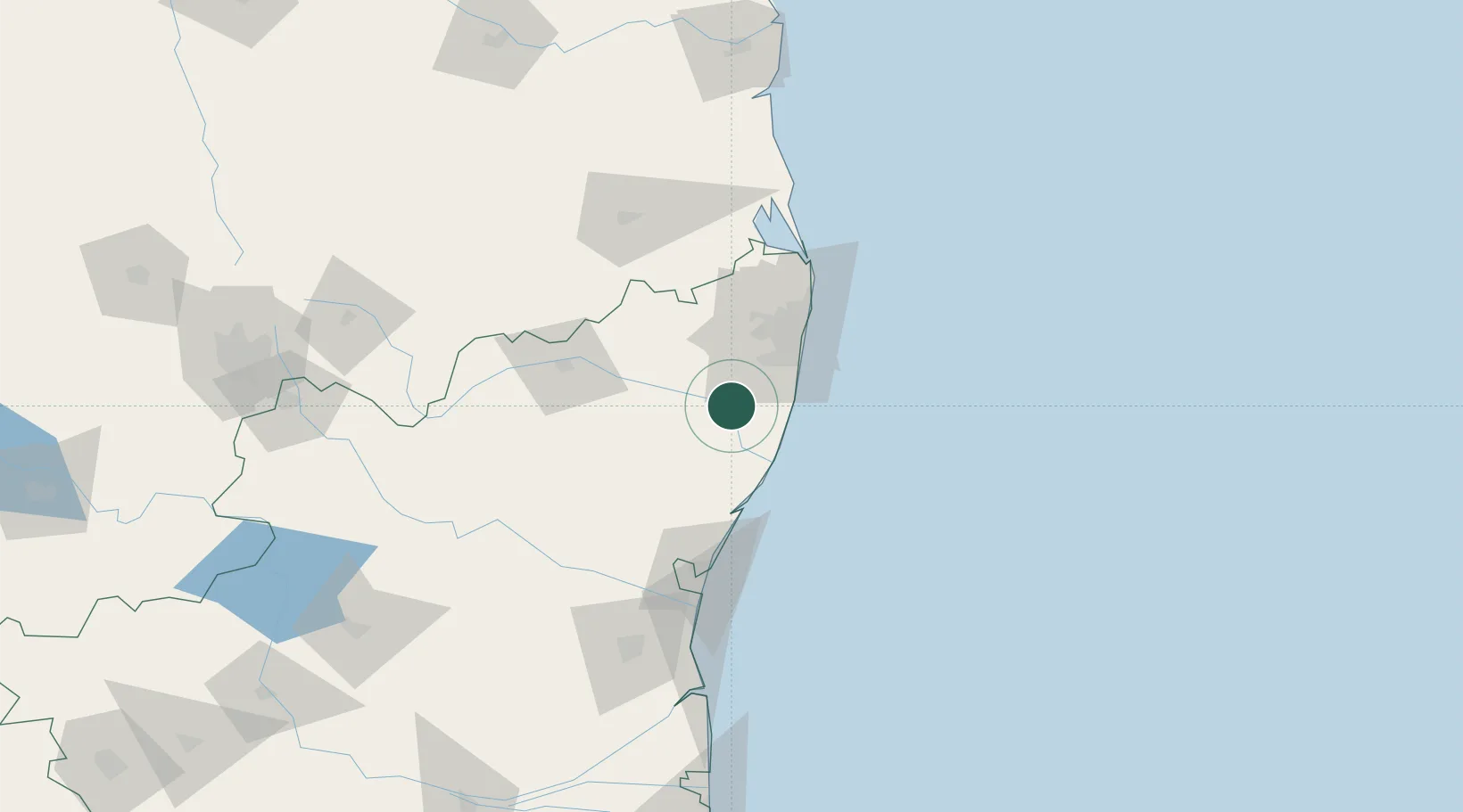
Place type
Populated place
Region
Tamil Nadu
Time zone
Asia/Kolkata
Elevation
41 m
Location
Nearby Logistics Neighbours
Cities
Ports
- 1Chennai (Madras)56 km
- 2Kamarajar Port73 km
- 3Pondicherry90 km
- 4Cuddalore115 km
- 5Kattupalli Port170 km
Airports
- 1Chennai International Airport37 km
- 2Pondicherry Airport86 km
- 3Tirupati International Airport109 km
- 4Salem Airport230 km
- 5Kadapa Airport236 km
DatabookThe Record of Consolidated Knowledge
India beyond logistics?