Transport Functions
Port
Road
Multimodal
Hub Profile
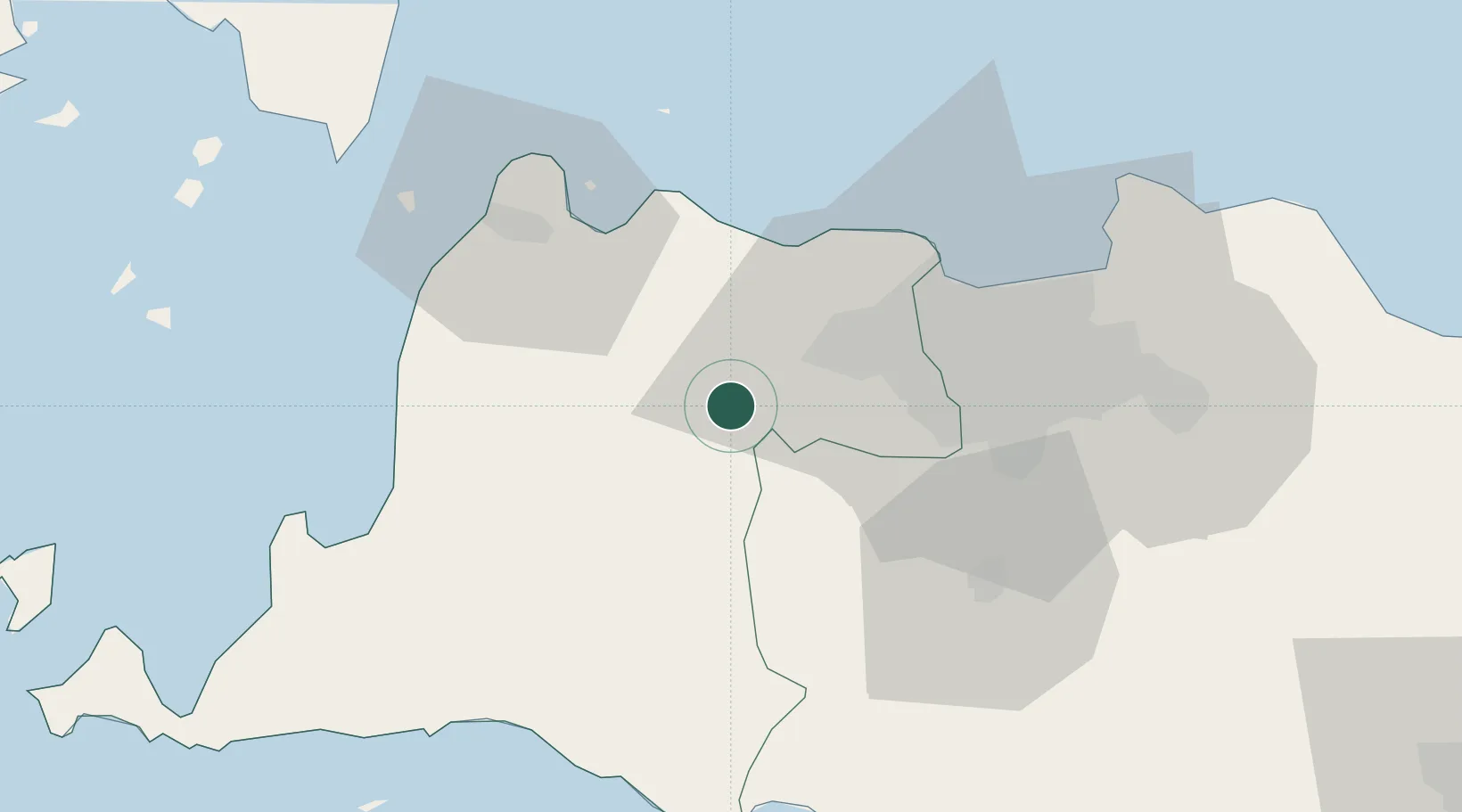
Place type
Populated place
Region
West Java
Time zone
Asia/Jakarta
Elevation
48 m
Location
Nearby Logistics Neighbours
Cities
- 1Cikande12 km
- 2Pasar Rebo40 km
- 3Kembangan41 km
- 4Palmerah46 km
- 5Pejagalan50 km
Ports
- 1Banten56 km
- 2Anyer Lor59 km
- 3Jakarta60 km
- 4Tanjung Sekong60 km
- 5Merak Mas Terminal60 km
Airports
Trade Zones
DatabookThe Record of Consolidated Knowledge
Indonesia beyond logistics?