Industrial Estate · Indonesia

BSD City Industrial Estate
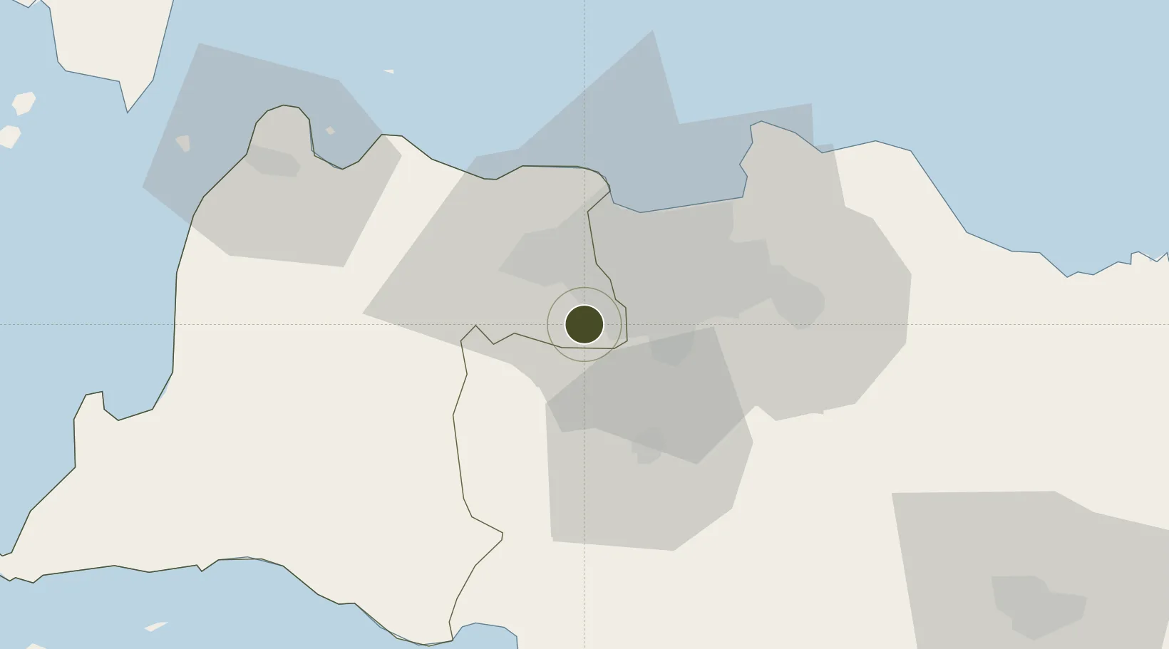
-6.3359°, 106.6772°
200 ha
Zone area
34.7 km
Nearest port
23.5 km
Nearest airport

Gateway access

Nearest neighbours — logibook spatial index (haversine) over the source coordinates

Zone profile

Zone type
Industrial Estate
the World Bank SEZ database
Region
Banten
the World Bank SEZ database
Established
Under review
the World Bank SEZ database
Management
Private management
the World Bank SEZ database
Operator
Sinar Mas Land Limited
the World Bank SEZ database
Regulatory authority
Industrial Estate Authority of Indonesia*
the World Bank SEZ database
Legal framework
Government Regulation No 142/2015
the World Bank SEZ database

Location

Location of IDN3
Natural Earth 10m (public domain) · Banten · IDN3 · -6.34, 106.68GoogleOSMYandex

Fiscal & incentives

Corporate tax
25%
the World Bank SEZ database
Tax relief
Under review
the World Bank SEZ database
Relief duration
Under review
the World Bank SEZ database
VAT
Under review
the World Bank SEZ database
Import duty (inputs)
Under review
the World Bank SEZ database
Import duty (capex)
Under review
the World Bank SEZ database
Profit repatriation
Under review
the World Bank SEZ database
Capital gains
Under review
the World Bank SEZ database
Withholding tax
Under review
the World Bank SEZ database
Min. investment
None
the World Bank SEZ database
Min. export
0%
the World Bank SEZ database
Employment incentive
Under review
the World Bank SEZ database
Developer incentive
No established framework
the World Bank SEZ database

Nearby Logistics Neighbours

Ports
  1. 1Jakarta35 km
  2. 2Banten86 km
  3. 3Tanjung Sekong88 km
  4. 4Merak Mas Terminal88 km
  5. 5Anyer Lor90 km
Nearest neighbours — logibook spatial index (haversine) over the source coordinates
Airports
  1. 1Soekarno-Hatta International Airport24 km
  2. 2Halim Perdanakusuma International Airport25 km
  3. 3Husein Sastranegara International Airport118 km
  4. 4Kertajati International Airport168 km
  5. 5Radin Inten II International Airport205 km
Nearest neighbours — logibook spatial index (haversine) over the source coordinates
Cities
  1. 1Pasar Rebo9 km
  2. 2Kembangan18 km
  3. 3Palmerah21 km
  4. 4Jakarta Pusat24 km
  5. 5Menteng24 km
Nearest neighbours — logibook spatial index (haversine) over the source coordinates
Trade Zones
  1. 1Millenium Industrial Estate22 km
  2. 2Sentul Industrial Estate29 km
  3. 3Cibinong Center Industrial Estate30 km
  4. 4Jakarta Industrial Estate - Pulogadung32 km
  5. 5Kawasan Berikat Nusantara Industrial Estate35 km
Nearest neighbours — logibook spatial index (haversine) over the source coordinates
DatabookThe Record of Consolidated Knowledge
Indonesia beyond logistics?
Browse databook

All Sources

Trade Zonesthe World Bank SEZ database
CC BY 4.0
Portsthe NGA World Port Index
Public domain (US gov)
AirportsOurAirports
Public domain
LocationsUN/LOCODE
UN/LOCODE — free
← Indonesia trade zones