Economic Zone · Bangladesh

Abdul Monem Private Economic Zone Active
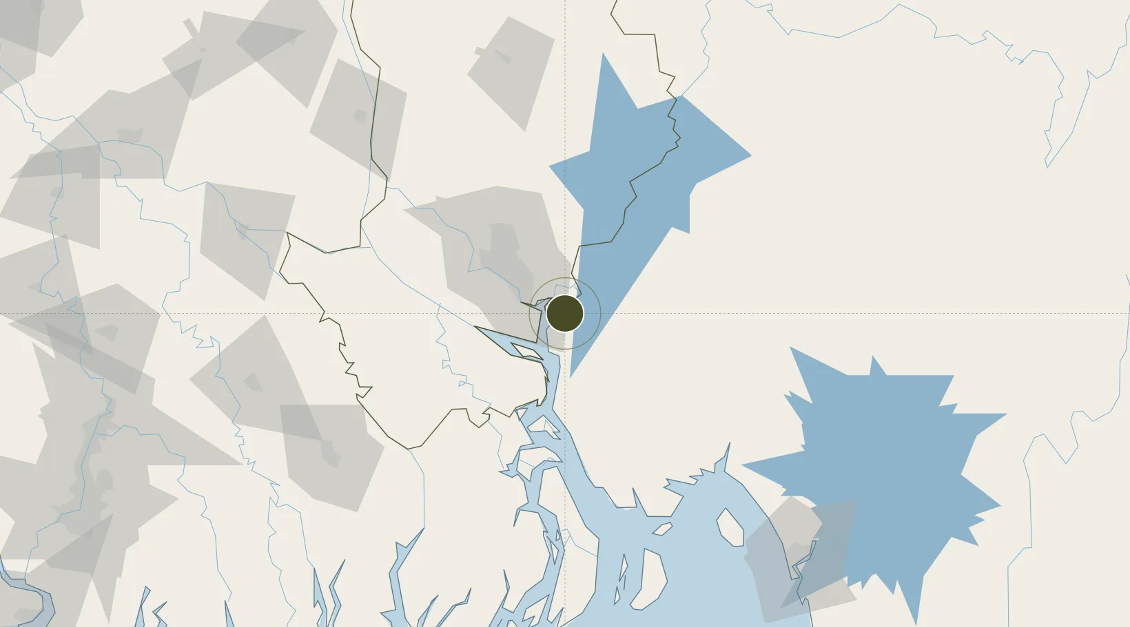
23.5276°, 90.6904°
80 ha
Zone area
162.4 km
Nearest port
46.0 km
Nearest airport

Gateway access

Nearest neighbours — logibook spatial index (haversine) over the source coordinates

Zone profile

Zone type
Economic Zone
the World Bank SEZ database
Region
Dhaka
the World Bank SEZ database
Status
Active
the World Bank SEZ database
Established
In development
the World Bank SEZ database
Management
Private management
the World Bank SEZ database
Operator
Abdul Monem Economic Zone Ltd
the World Bank SEZ database
Regulatory authority
Bangladesh Economic Zones Authority (BEZA)
the World Bank SEZ database
Legal framework
Bangladesh Economic Zones Act
the World Bank SEZ database

Location

Location of BGD46
Natural Earth 10m (public domain) · Dhaka · BGD46 · 23.53, 90.69GoogleOSMYandex

Fiscal & incentives

Corporate tax
25%
the World Bank SEZ database
Tax relief
100% exempt
the World Bank SEZ database
Relief duration
2 years
the World Bank SEZ database
VAT
80% exempt from utility consumption tax
the World Bank SEZ database
Import duty (inputs)
100% exempt
the World Bank SEZ database
Import duty (capex)
100% exempt
the World Bank SEZ database
Profit repatriation
100% exempt from repatriation tax on capital and dividends
the World Bank SEZ database
Capital gains
100% exempt from capital gains tax
the World Bank SEZ database
Withholding tax
50% exempt from income tax
the World Bank SEZ database
Min. investment
None
the World Bank SEZ database
Min. export
80%
the World Bank SEZ database
Employment incentive
No exemption
the World Bank SEZ database
Developer incentive
Yes
the World Bank SEZ database

Nearby Logistics Neighbours

Ports
  1. 1Mongla162 km
  2. 2Chittagong177 km
  3. 3Calcutta265 km
  4. 4Haldia Port316 km
  5. 5Sittwe441 km
Nearest neighbours — logibook spatial index (haversine) over the source coordinates
Airports
  1. 1Hazrat Shahjalal International Airport46 km
  2. 2Agartala - Maharaja Bir Bikram Airport69 km
  3. 3Barisal Airport90 km
  4. 4Kailashahar Airport160 km
  5. 5Jessore Airport161 km
Nearest neighbours — logibook spatial index (haversine) over the source coordinates
Cities
  1. 1Narayanganj19 km
  2. 2Munshiganj19 km
  3. 3Panchashar20 km
  4. 4Pangaon28 km
  5. 5Tejgaon40 km
Nearest neighbours — logibook spatial index (haversine) over the source coordinates
Trade Zones
  1. 1Alliance Economic Zone2 km
  2. 2Comilla Economic Zone7 km
  3. 3Standard Global Economic Zone10 km
  4. 4Meghna Economic Zone13 km
  5. 5Sonargaon Economic Zone16 km
Nearest neighbours — logibook spatial index (haversine) over the source coordinates
DatabookThe Record of Consolidated Knowledge
Bangladesh beyond logistics?
Browse databook

All Sources

Trade Zonesthe World Bank SEZ database
CC BY 4.0
Portsthe NGA World Port Index
Public domain (US gov)
AirportsOurAirports
Public domain
LocationsUN/LOCODE
UN/LOCODE — free
← Bangladesh trade zones