UN/LOCODE hub · Vietnam
VNSGN
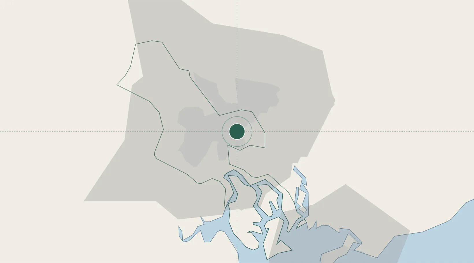
Ho Chi Minh City
10.8188°, 106.7835°
14,002,598
Population
5
Transport functions
6
Container terminals
Transport Functions
Port
Road
Airport
Multimodal
Postal
Hub Profile
Place type
Populated place
Region
Ho Chi Minh City (HCMC)
Population
14,002,598
Time zone
Asia/Ho_Chi_Minh
Elevation
7 m
Logistics facilities
53
Container terminals
6
Location
Nearby Logistics Neighbours
Cities
- 1Phuóc Long2 km
- 2Cát Lái2 km
- 3Phuoc Long ICD4 km
- 4ICD Sotrans4 km
- 5Sai Gon Port4 km
Ports
- 1Thanh Hoa2 km
- 2Cat Lai8 km
- 3Phu My38 km
- 4Vung Tau64 km
- 5Vinh Cam Ranh286 km
Airports
Trade Zones
DatabookThe Record of Consolidated Knowledge
Vietnam beyond logistics?