Transport Functions
Port
Road
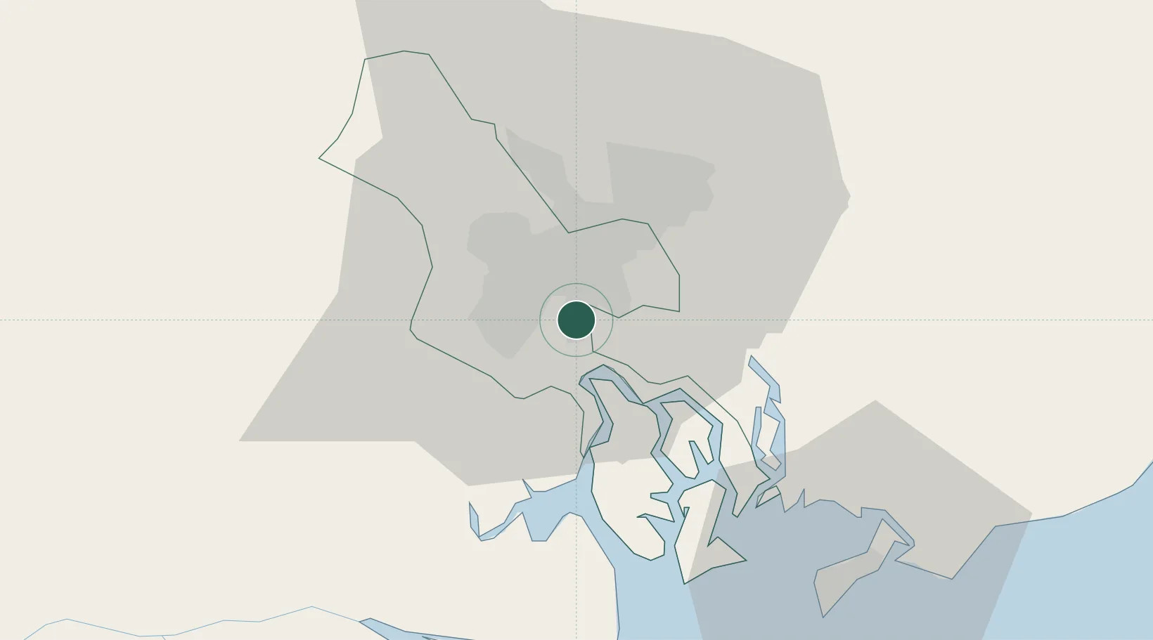
Hub Profile
Place type
Populated place
Region
Nghệ An Province
Time zone
Asia/Bangkok
Elevation
32 m
Location
Nearby Logistics Neighbours
Cities
- 1Lotus Port2 km
- 2Song Than ICD3 km
- 3Tân Thuan Dông3 km
- 4Cat Lai Oil Port4 km
- 5Saigon Petro Oil Terminal6 km
Ports
- 1Thanh Ho Chi Minh3 km
- 2Cat Lai6 km
- 3Thanh Hoa8 km
- 4Phu My38 km
- 5Vung Tau60 km
Airports
Trade Zones
DatabookThe Record of Consolidated Knowledge
Vietnam beyond logistics?