Transport Functions
Port
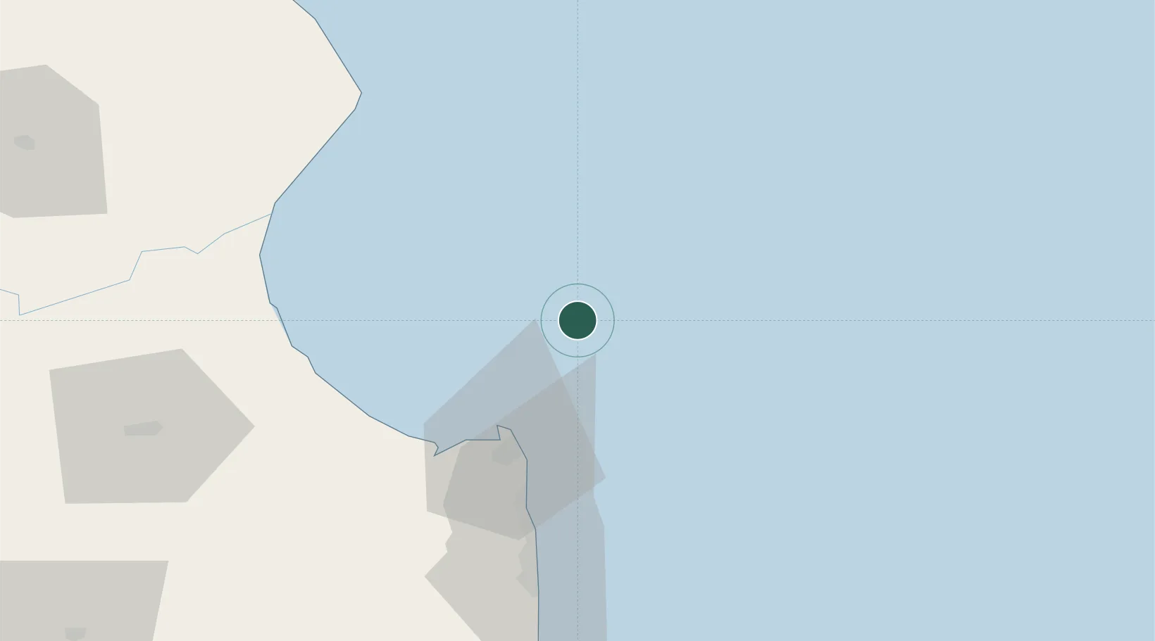
Location
Nearby Logistics Neighbours
Cities
- 1General Lavalle54 km
- 2Punta Medanos89 km
- 3Lezama (Manuel J. Cobo)121 km
- 4Montevideo132 km
- 5Chascomus141 km
Ports
- 1Montevideo130 km
- 2La Plata179 km
- 3Puerto Sauce195 km
- 4Jose Ignacio208 km
- 5Colonia210 km
Airports
Trade Zones
- 1Aguada Park Free Zone131 km
- 2World Trade Center Free Zone132 km
- 3Parque de las Ciencias Free Zone145 km
- 4Parque Las Ciencias Free Zone145 km
- 5Zonamerica Free Zone146 km
DatabookThe Record of Consolidated Knowledge
Argentina beyond logistics?