UN/LOCODE hub · Uruguay
UYJLC
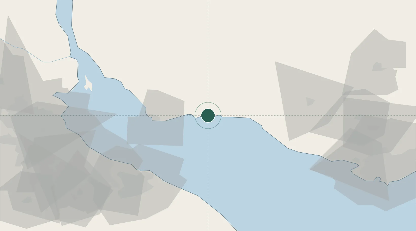
Juan L. Lacaze
-34.4333°, -57.4500°
12,816
Population
1
Transport functions
Transport Functions
Port
Hub Profile
Place type
Populated place
Region
Colonia
Population
12,816
Time zone
America/Montevideo
Elevation
15 m
Location
Nearby Logistics Neighbours
Cities
- 1La Plata62 km
- 2Puerto Ingeniero M. Rocca64 km
- 3Ringuelet70 km
- 4Quilmes81 km
- 5Villa Dominico84 km
Ports
- 1Colonia37 km
- 2La Plata60 km
- 3Buenos Aires86 km
- 4Nueva Palmira108 km
- 5Montevideo124 km
Airports
- 1La Plata Airport72 km
- 2Aeroparque Jorge Newbery90 km
- 3San Fernando Airport105 km
- 4El Palomar Airport108 km
- 5Ezeiza International Airport - Ministro Pistarini108 km
Trade Zones
- 1Colonia Suiza Free Zone23 km
- 2Nueva Helvecia Free Zone24 km
- 3Colonia Free Zone35 km
- 4Montes de Plata Free Zone60 km
- 5La Plata Free Trade Zone62 km
DatabookThe Record of Consolidated Knowledge
Uruguay beyond logistics?