UN/LOCODE hub · Uruguay
UYMVD
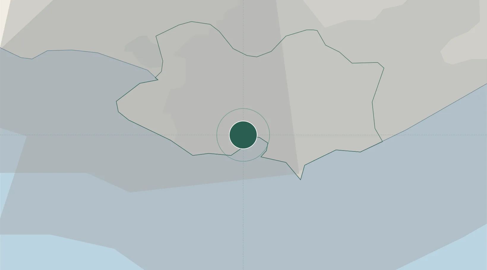
Montevideo
-34.8764°, -56.2384°
1,270,737
Population
3
Transport functions
2
Container terminals
Transport Functions
Port
Airport
Postal
Hub Profile
Place type
National capital
Region
Montevideo Department
Population
1,270,737
Time zone
America/Montevideo
Elevation
34 m
Logistics facilities
15
Container terminals
2
Location
Nearby Logistics Neighbours
Cities
- 1Joanico33 km
- 2Piriápolis89 km
- 3Juan L. Lacaze121 km
- 4Cabo San Antonio132 km
- 5La Plata151 km
Ports
- 1Puerto Sauce121 km
- 2Jose Ignacio141 km
- 3La Plata150 km
- 4Colonia154 km
- 5La Paloma192 km
Airports
Trade Zones
DatabookThe Record of Consolidated Knowledge
Uruguay beyond logistics?