Transport Functions
Port
Rail
Road
Multimodal
Hub Profile
Place type
Populated place
Region
Pennsylvania
Time zone
America/New_York
Elevation
18 m
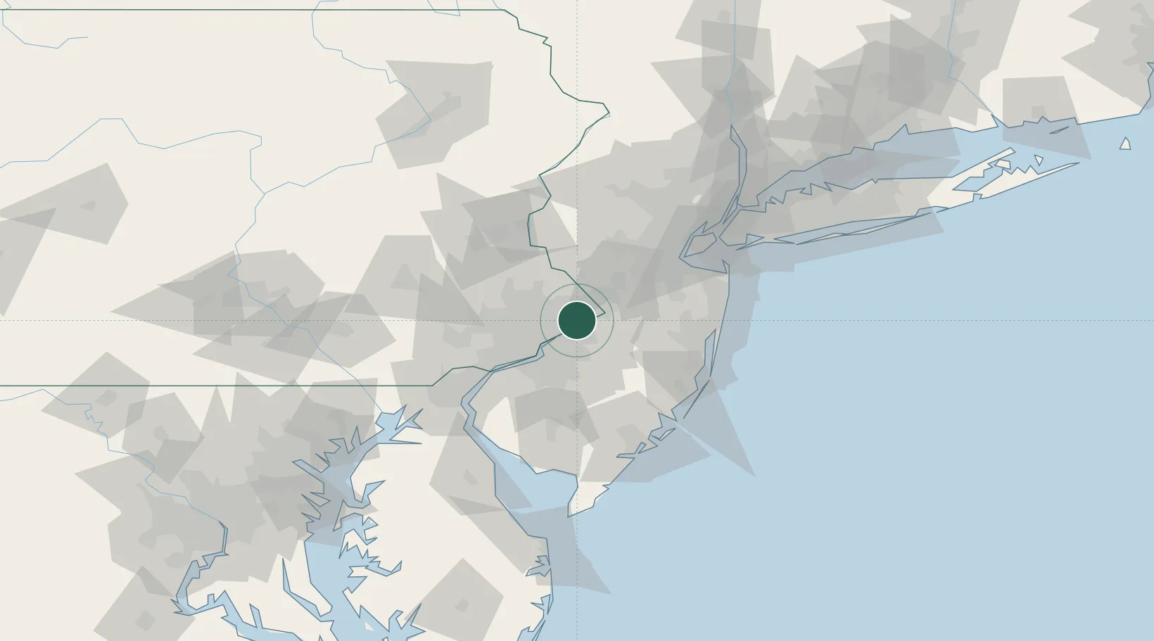
Location
Nearby Logistics Neighbours
Cities
- 1Westampton13 km
- 2Rancocas13 km
- 3Bethayres14 km
- 4Yardley15 km
- 5Columbus17 km
Ports
- 1Bristol5 km
- 2Burlington5 km
- 3Trenton15 km
- 4Philadelphia27 km
- 5Camden27 km
Airports
Trade Zones
- 1FTZ No. 200 Mercer County19 km
- 2FTZ No. 035 Philadelphia33 km
- 3FTZ No. 235 Lakewood56 km
- 4FTZ No. 099 Wilmington69 km
- 5FTZ No. 142 Salem Millville83 km
DatabookThe Record of Consolidated Knowledge
United States beyond logistics?