Transport Functions
Road
Multimodal
Hub Profile
Place type
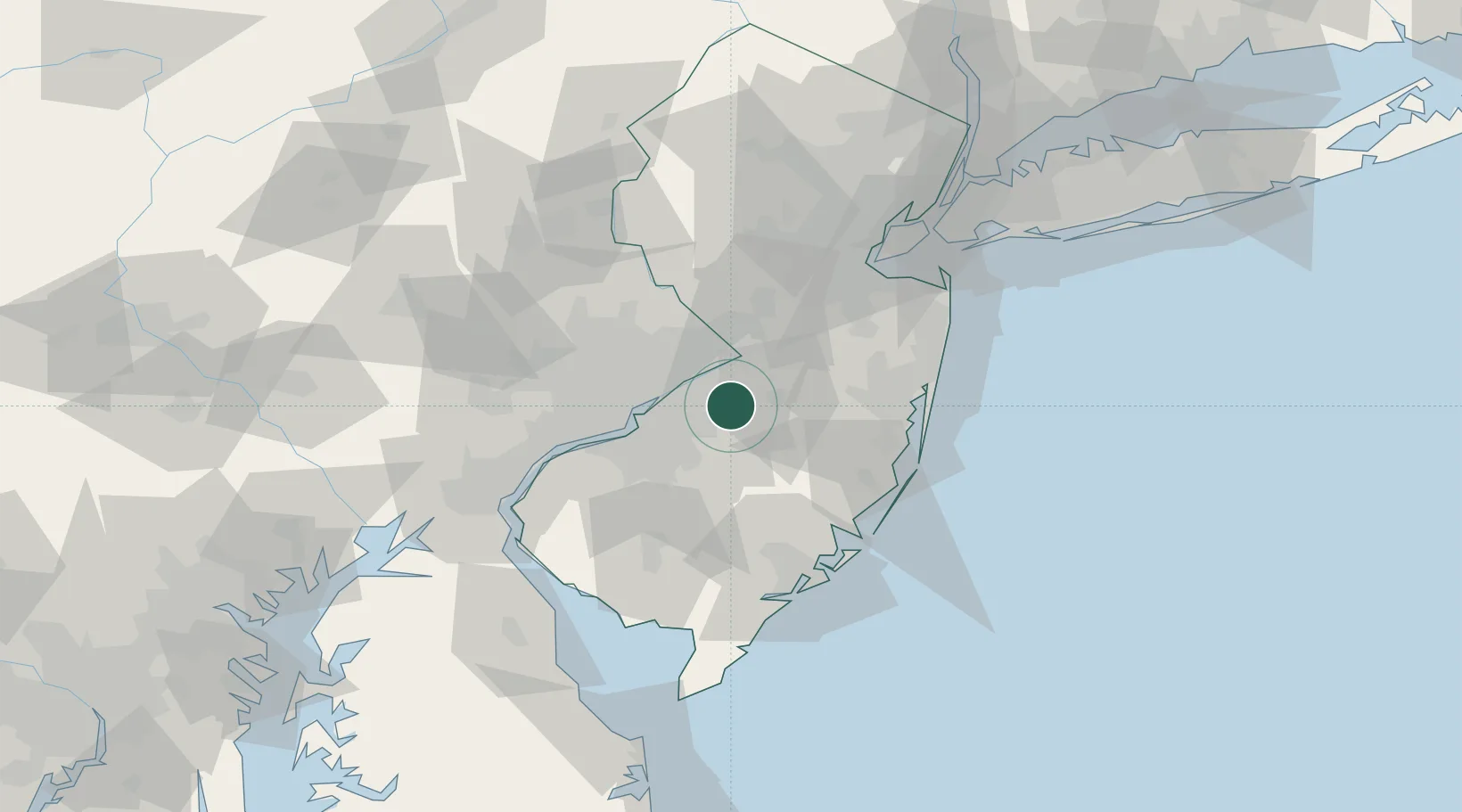
Populated place
Region
New Jersey
Time zone
America/New_York
Elevation
12 m
Location
Nearby Logistics Neighbours
Cities
- 1Lumberton5 km
- 2Westampton7 km
- 3Rancocas9 km
- 4Jobstown9 km
- 5Columbus10 km
Ports
- 1Burlington14 km
- 2Bristol15 km
- 3Trenton24 km
- 4Philadelphia32 km
- 5Camden32 km
Airports
Trade Zones
- 1FTZ No. 200 Mercer County34 km
- 2FTZ No. 035 Philadelphia42 km
- 3FTZ No. 235 Lakewood46 km
- 4FTZ No. 099 Wilmington72 km
- 5FTZ No. 142 Salem Millville73 km
DatabookThe Record of Consolidated Knowledge
United States beyond logistics?