Transport Functions
Port
Road
Multimodal
Hub Profile
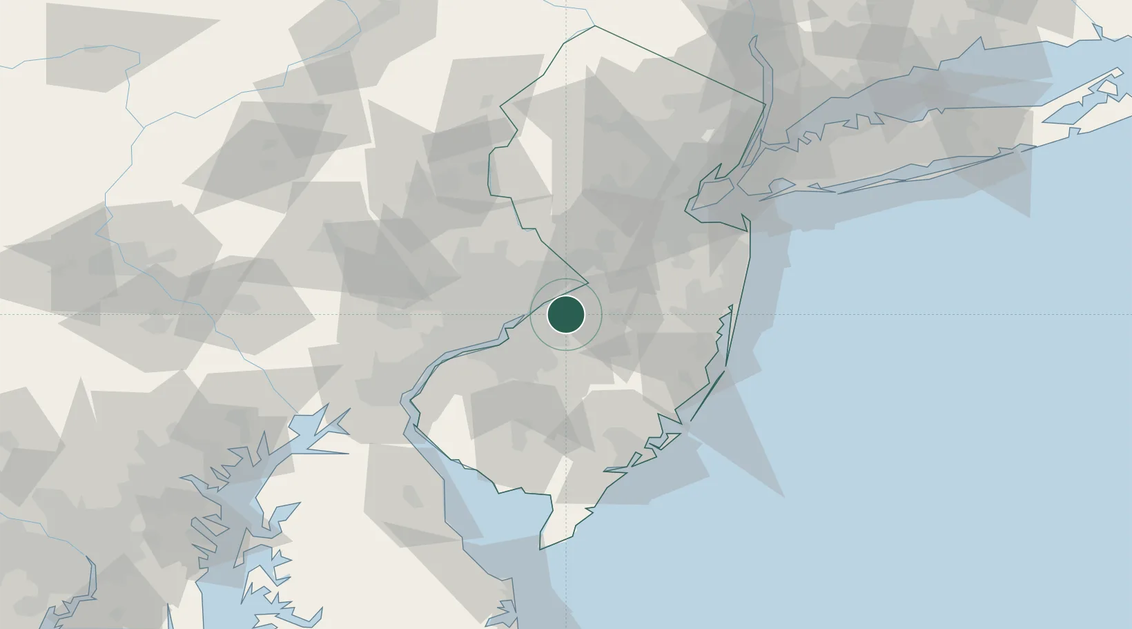
Place type
Populated place
Region
New Jersey
Time zone
America/New_York
Elevation
18 m
Location
Nearby Logistics Neighbours
Cities
- 1Rancocas3 km
- 2Clermont7 km
- 3Lumberton8 km
- 4Columbus11 km
- 5Newportville13 km
Ports
- 1Burlington8 km
- 2Bristol9 km
- 3Trenton21 km
- 4Philadelphia27 km
- 5Camden27 km
Airports
Trade Zones
- 1FTZ No. 200 Mercer County29 km
- 2FTZ No. 035 Philadelphia36 km
- 3FTZ No. 235 Lakewood51 km
- 4FTZ No. 099 Wilmington68 km
- 5FTZ No. 142 Salem Millville74 km
DatabookThe Record of Consolidated Knowledge
United States beyond logistics?