Transport Functions
Multimodal
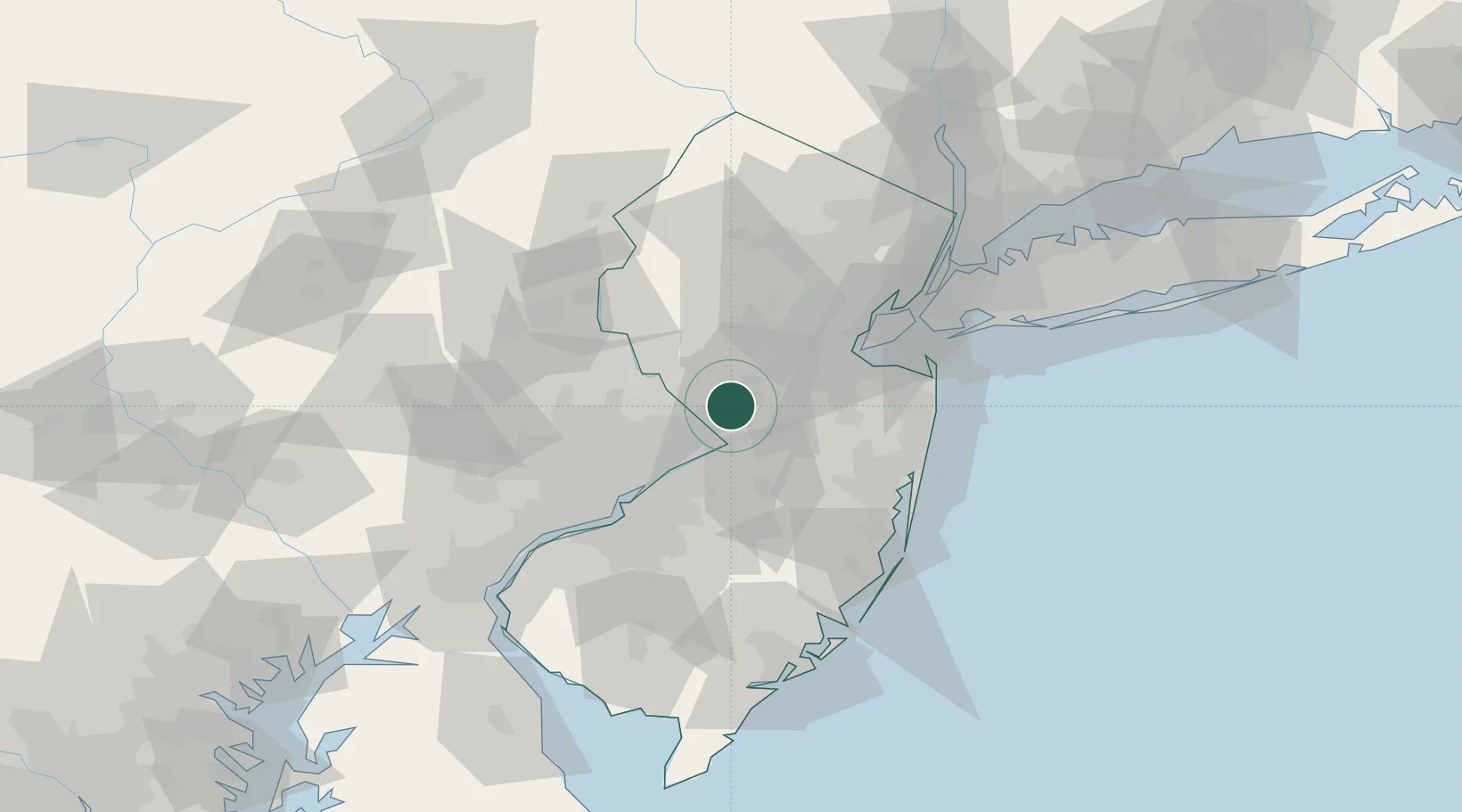
Hub Profile
Region
NJ
Location
Nearby Logistics Neighbours
Cities
- 1Rosemont6 km
- 2Ewing8 km
- 3Hamilton Square9 km
- 4Princeton Junction9 km
- 5Yardley13 km
Ports
- 1Trenton12 km
- 2Bristol25 km
- 3Burlington27 km
- 4Sayreville35 km
- 5South Amboy43 km
Airports
Trade Zones
DatabookThe Record of Consolidated Knowledge
United States beyond logistics?