Transport Functions
Rail
Road
Hub Profile
Place type
Populated place
Region
Pennsylvania
Population
2,441
Time zone
America/New_York
Elevation
22 m
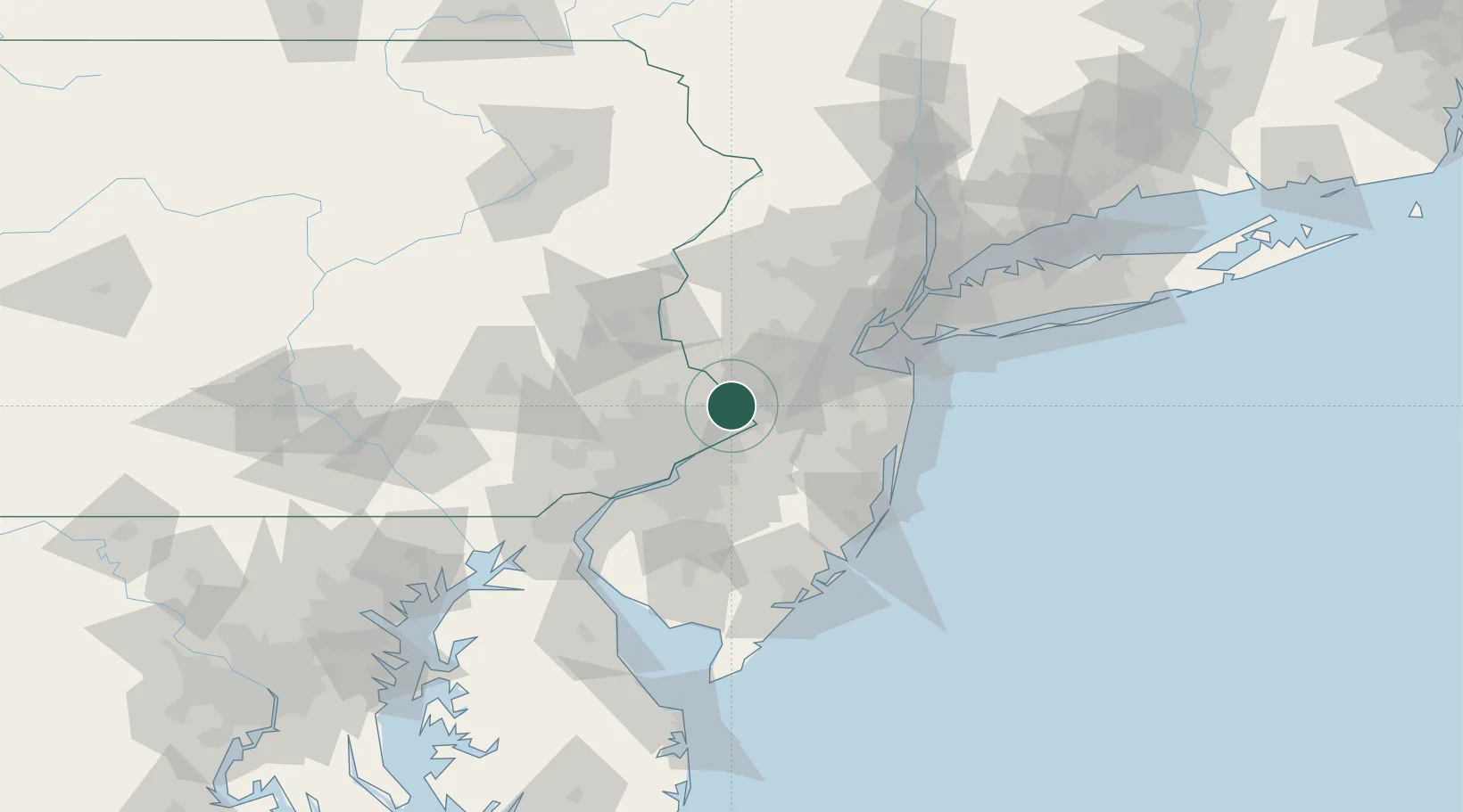
Location
Nearby Logistics Neighbours
Cities
- 1Ewing5 km
- 2Millstone Township13 km
- 3Rosemont13 km
- 4Newportville15 km
- 5Hamilton Square16 km
Ports
- 1Trenton9 km
- 2Bristol17 km
- 3Burlington19 km
- 4Philadelphia41 km
- 5Camden41 km
Airports
Trade Zones
DatabookThe Record of Consolidated Knowledge
United States beyond logistics?