Transport Functions
Road
Multimodal
Hub Profile
Place type
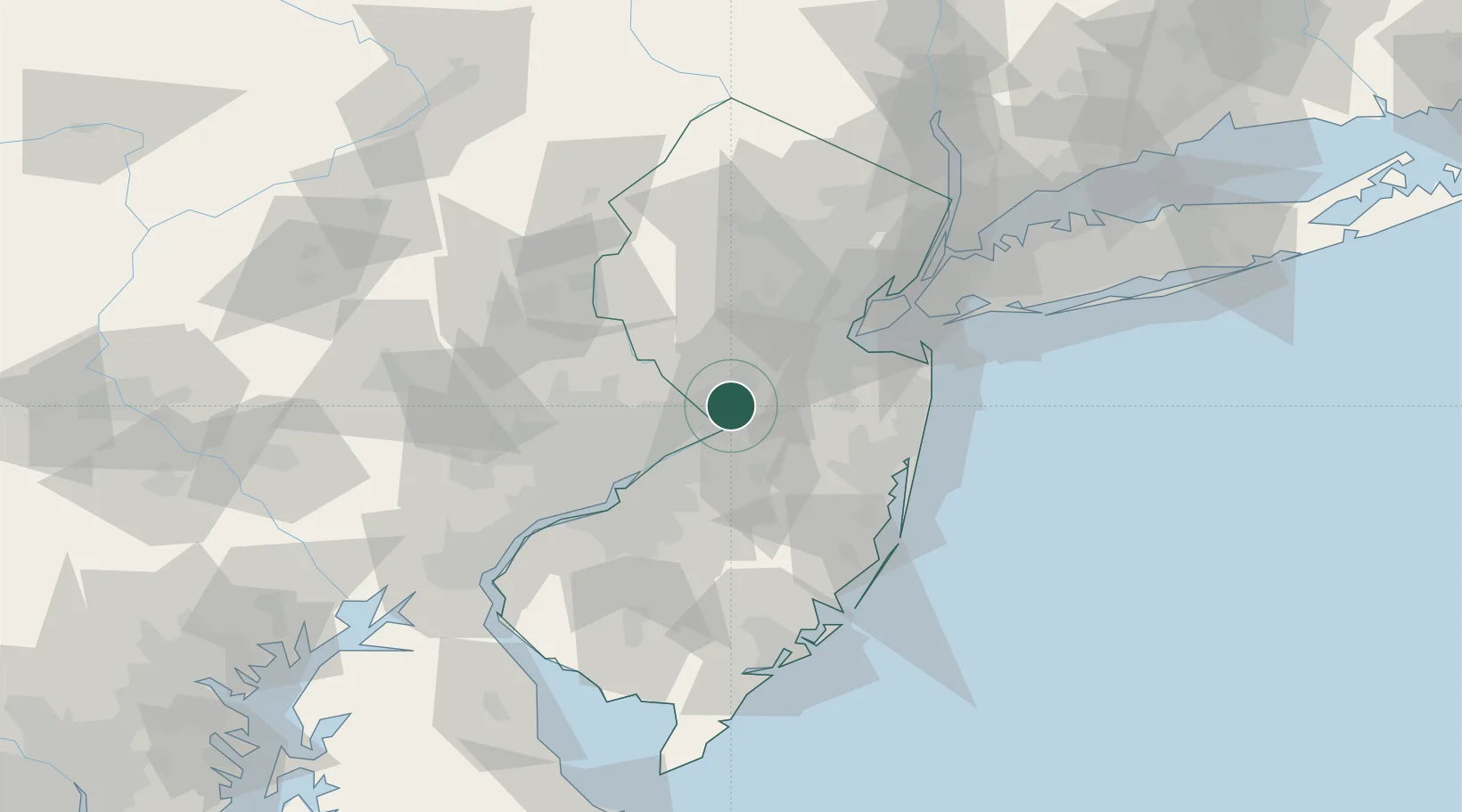
Populated place
Region
New Jersey
Time zone
America/New_York
Elevation
32 m
Location
Nearby Logistics Neighbours
Cities
- 1Hamilton Square3 km
- 2Millstone Township6 km
- 3Ewing9 km
- 4Princeton Junction10 km
- 5Yardley13 km
Ports
- 1Trenton8 km
- 2Bristol21 km
- 3Burlington23 km
- 4Sayreville37 km
- 5South Amboy45 km
Airports
Trade Zones
DatabookThe Record of Consolidated Knowledge
United States beyond logistics?