Transport Functions
Port
Hub Profile
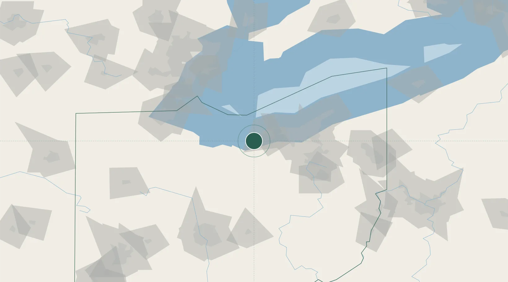
Place type
Populated place
Region
Ohio
Time zone
America/New_York
Elevation
239 m
Location
Nearby Logistics Neighbours
Cities
- 1Wakeman8 km
- 2Vermilion11 km
- 3Oberlin14 km
- 4Northfield16 km
- 5Sheffield25 km
Ports
- 1Vermilion13 km
- 2Huron19 km
- 3Lorain22 km
- 4Sandusky34 km
- 5Port Clinton54 km
Airports
Trade Zones
- 1FTZ No. 040 Cleveland47 km
- 2FTZ No. 181 Akron Canton65 km
- 3FTZ No. 008 Toledo105 km
- 4FTZ No. 151 Findlay117 km
- 5Windsor - Essex Foreign Trade Zone125 km
DatabookThe Record of Consolidated Knowledge
United States beyond logistics?