UN/LOCODE hub · United States
USNYC
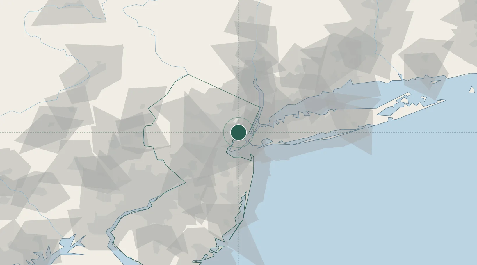
New York
40.7163°, -74.1463°
5
Transport functions
7
Container terminals
Transport Functions
Port
Rail
Road
Airport
Postal
Hub Profile
Place type
Populated place
Region
Kentucky
Time zone
America/Chicago
Elevation
140 m
Logistics facilities
113
Container terminals
7
Location
Nearby Logistics Neighbours
Cities
- 1Port Newark3 km
- 2South Kearny3 km
- 3Jersey City5 km
- 4Newark6 km
- 5Arlington6 km
Ports
- 1Newark2 km
- 2Bayonne5 km
- 3Port Richmond SI7 km
- 4Elizabethport8 km
- 5Jersey City10 km
Airports
Trade Zones
DatabookThe Record of Consolidated Knowledge
United States beyond logistics?