Transport Functions
Rail
Road
Hub Profile
Place type
Populated place
Region
Connecticut
Time zone
America/New_York
Elevation
87 m
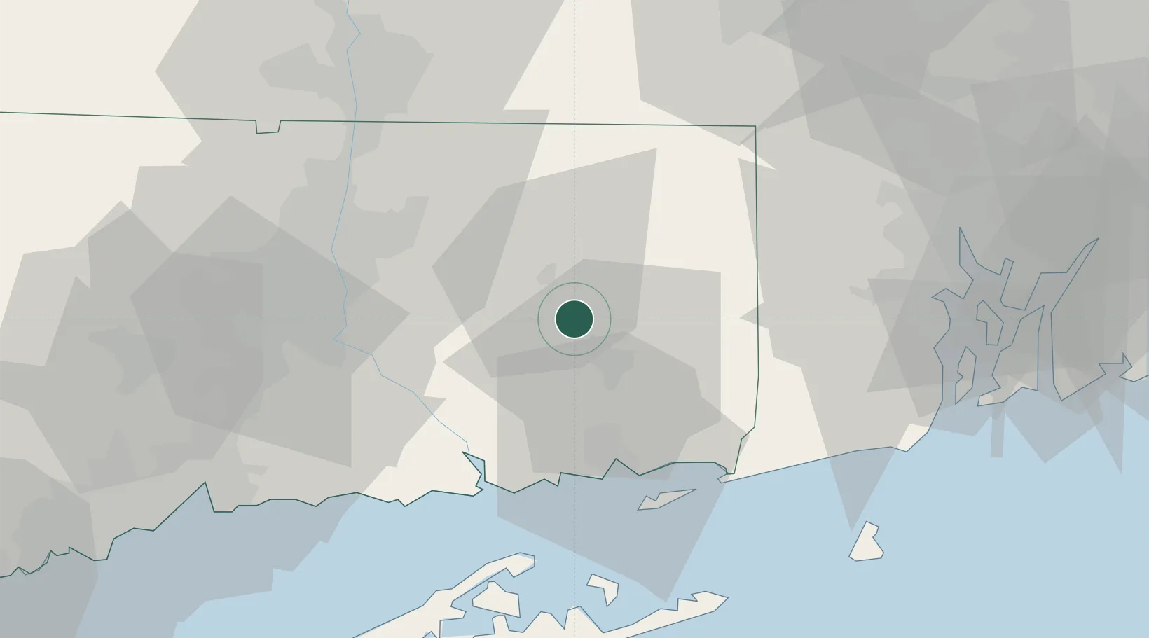
Location
Nearby Logistics Neighbours
Cities
- 1South Windham6 km
- 2Windham8 km
- 3Willimantic8 km
- 4Yantic10 km
- 5North Windham13 km
Ports
- 1Norwich15 km
- 2New London32 km
- 3Mystic36 km
- 4Essex36 km
- 5Noank38 km
Airports
Trade Zones
DatabookThe Record of Consolidated Knowledge
United States beyond logistics?