UN/LOCODE hub · United States
USGXH
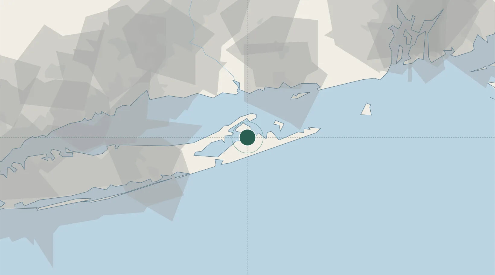
Sag Harbor
41.0167°, -72.3000°
2,282
Population
1
Transport functions
Transport Functions
Port
Hub Profile
Place type
Populated place
Region
New York
Population
2,282
Time zone
America/New_York
Elevation
8 m
Location
Nearby Logistics Neighbours
Cities
- 1North Haven2 km
- 2Shelter Island6 km
- 3Bridgehampton9 km
- 4Southold11 km
- 5Greenport11 km
Ports
- 1Greenport11 km
- 2Montauk Harbor31 km
- 3Essex38 km
- 4New London41 km
- 5Noank43 km
Airports
- 1Montauk Airport33 km
- 2Groton New London Airport41 km
- 3Westerly State Airport56 km
- 4Tweed New Haven Airport56 km
- 5Block Island State Airport63 km
Trade Zones
- 1FTZ No. 208 New London41 km
- 2FTZ No. 162 New Haven62 km
- 3FTZ No. 052 Suffolk County76 km
- 4FTZ No. 076 Bridgeport77 km
- 5FTZ No. 071 Windsor Locks105 km
DatabookThe Record of Consolidated Knowledge
United States beyond logistics?