UN/LOCODE hub · United States
USAMF
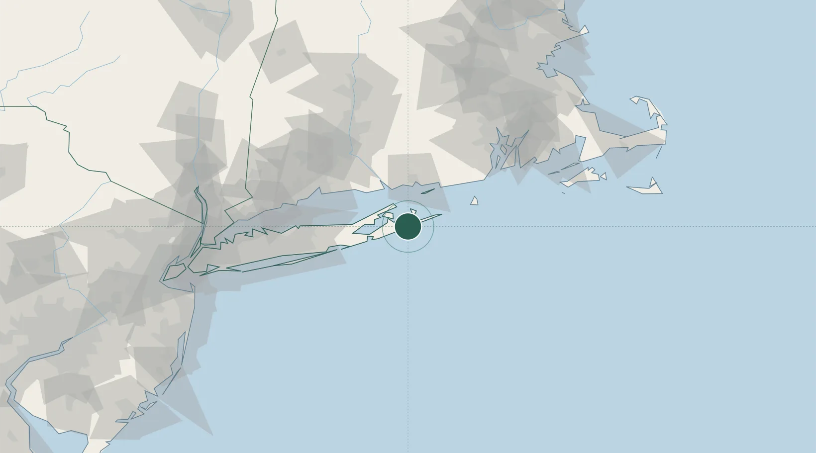
Amagansett
40.9667°, -72.1500°
1,165
Population
3
Transport functions
Transport Functions
Port
Rail
Road
Hub Profile
Place type
Populated place
Region
New York
Population
1,165
Time zone
America/New_York
Elevation
9 m
Location
Nearby Logistics Neighbours
Cities
- 1Sagaponack13 km
- 2North Haven13 km
- 3Bridgehampton13 km
- 4Sag Harbor14 km
- 5Water Mill18 km
Ports
- 1Montauk Harbor21 km
- 2Greenport24 km
- 3Noank41 km
- 4New London43 km
- 5Mystic45 km
Airports
- 1Montauk Airport23 km
- 2Groton New London Airport41 km
- 3Westerly State Airport52 km
- 4Block Island State Airport53 km
- 5Tweed New Haven Airport70 km
Trade Zones
DatabookThe Record of Consolidated Knowledge
United States beyond logistics?