UN/LOCODE hub · United States
USHEI
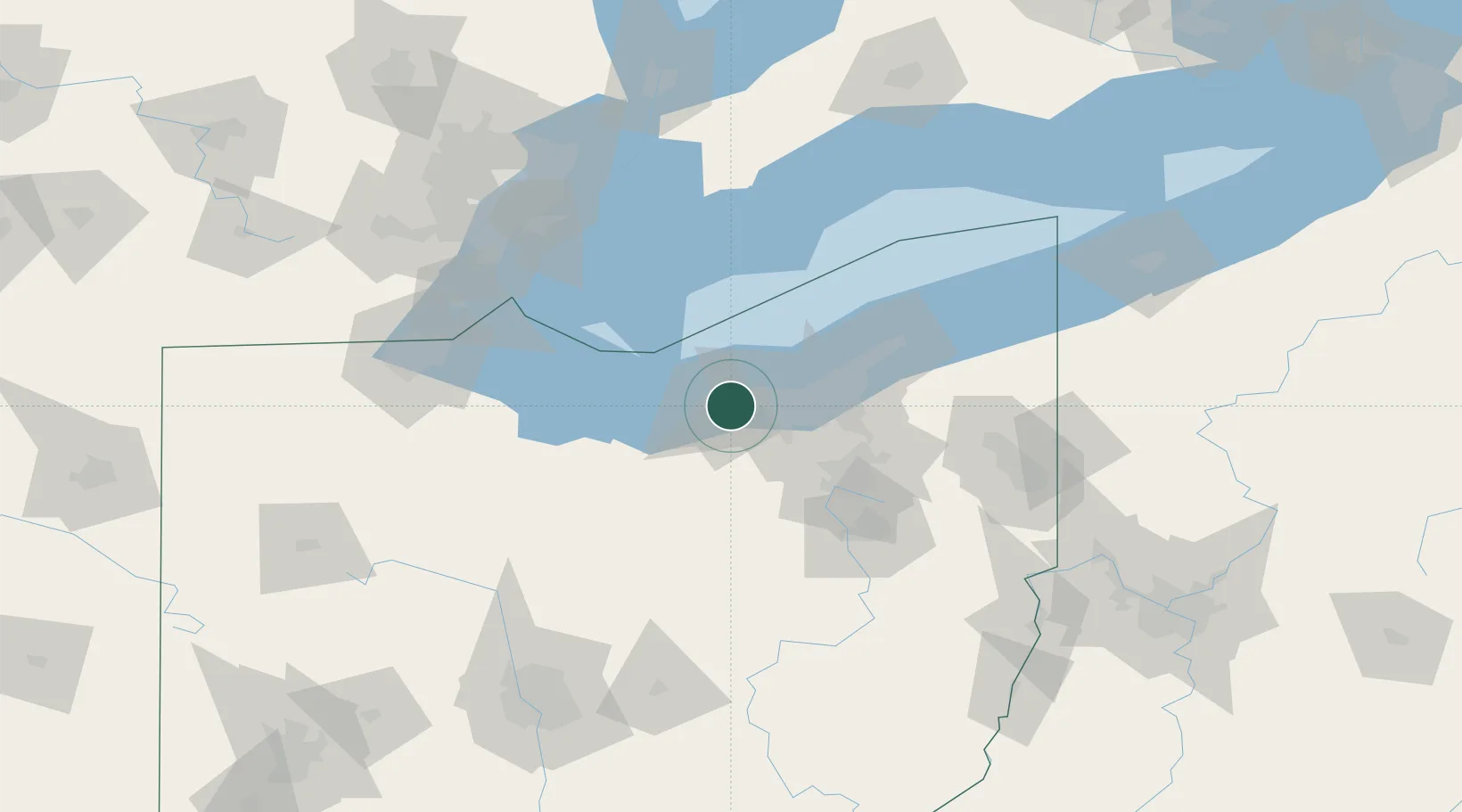
Sheffield
41.4167°, -82.0833°
3,982
Population
3
Transport functions
Transport Functions
Rail
Road
Multimodal
Hub Profile
Place type
Populated place
Region
Ohio
Population
3,982
Time zone
America/New_York
Elevation
193 m
Location
Nearby Logistics Neighbours
Cities
- 1Olmsted Falls16 km
- 2Grand Rapids18 km
- 3Oberlin18 km
- 4Fairview Park20 km
- 5Berea21 km
Airports
Trade Zones
- 1FTZ No. 040 Cleveland22 km
- 2FTZ No. 181 Akron Canton59 km
- 3FTZ No. 008 Toledo123 km
- 4Windsor - Essex Foreign Trade Zone127 km
- 5FTZ No. 070 Detroit141 km
DatabookThe Record of Consolidated Knowledge
United States beyond logistics?