UN/LOCODE hub · United States
USIS3
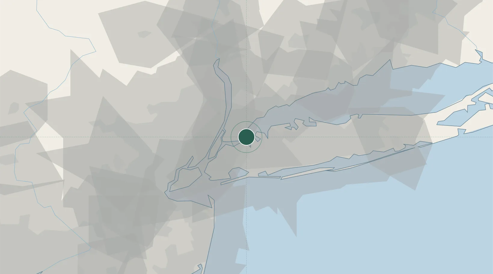
City Island
40.8333°, -73.7833°
4,362
Population
2
Transport functions
Transport Functions
Port
Road
Hub Profile
Place type
Urban district
Region
New York
Population
4,362
Time zone
America/New_York
Elevation
6 m
Location
Nearby Logistics Neighbours
Cities
- 1Sands Point6 km
- 2Manhasset8 km
- 3Port Washington9 km
- 4Larchmont10 km
- 5Port Morris, Bronx12 km
Ports
- 1Yonkers15 km
- 2Edgewater17 km
- 3Port Chester21 km
- 4Weehawken21 km
- 5Hoboken22 km
Airports
Trade Zones
DatabookThe Record of Consolidated Knowledge
United States beyond logistics?