Transport Functions
Port
Road
Airport
Hub Profile
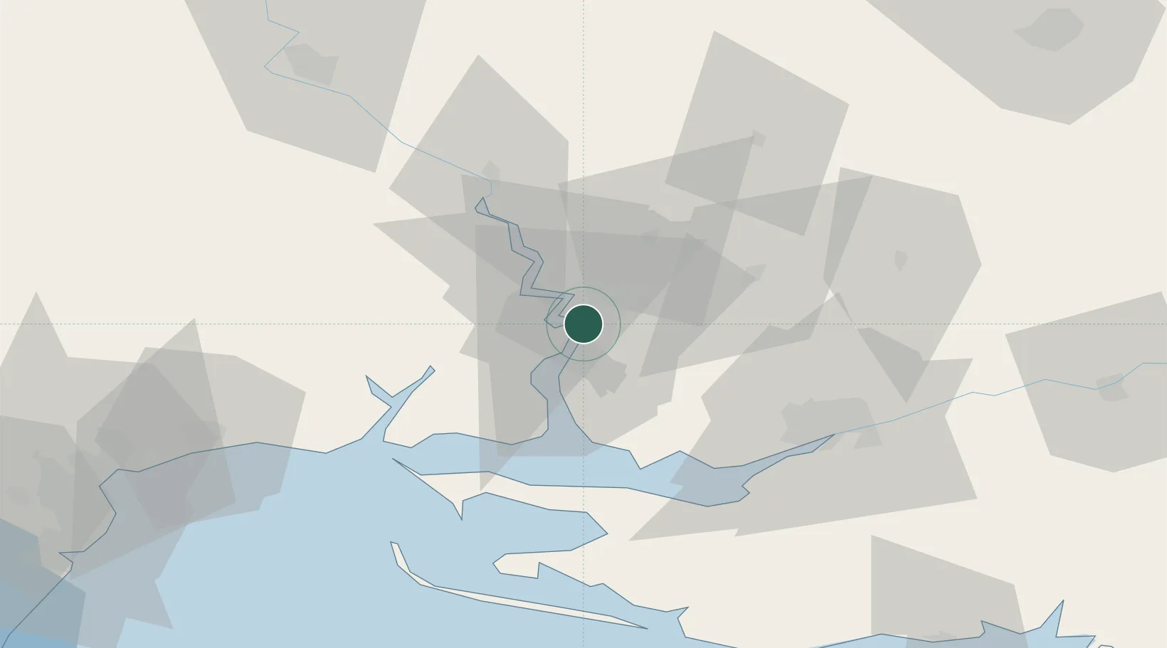
Place type
Populated place
Region
Chernihiv
Time zone
Europe/Kyiv
Elevation
134 m
Location
Nearby Logistics Neighbours
Cities
- 1Mykolayiv4 km
- 2Olviia12 km
- 3Ochakiv50 km
- 4Chernobayevka50 km
- 5Kherson59 km
Ports
- 1Port Oktyabrsk12 km
- 2Kherson58 km
- 3Yuzhnyy84 km
- 4Odesa109 km
- 5Skadovs'k116 km
Airports
DatabookThe Record of Consolidated Knowledge
Ukraine beyond logistics?