UN/LOCODE hub · Ukraine
UAOCT

Olviia

46.8333°, 31.9500°
3
Transport functions

Transport Functions

Port
Rail
Road
Olviia is also a profiled seaport →
UN/LOCODE

Hub Profile

Region
48
GeoNames

Location

Location of UAOCT
Natural Earth 10m (public domain) · 48 · UAOCT · 46.83, 31.95GoogleOSMYandex

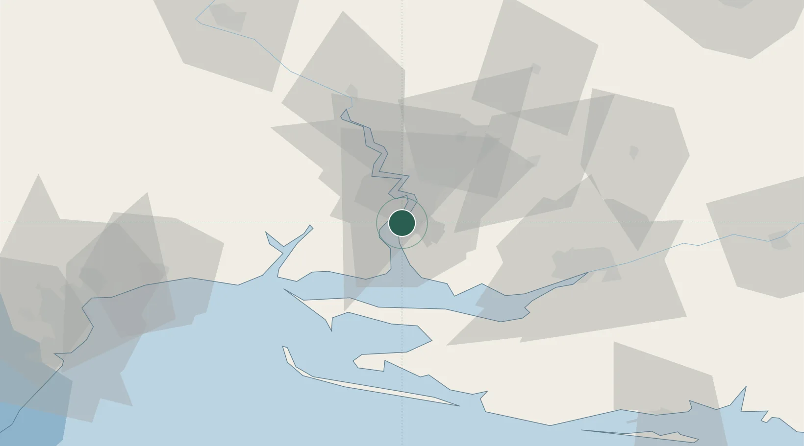
Nearby Logistics Neighbours

Cities
  1. 1Mykolaiv12 km
  2. 2Mykolayiv15 km
  3. 3Ochakiv39 km
  4. 4Chernobayevka49 km
  5. 5Kherson56 km
Nearest neighbours — logibook spatial index (haversine) over the source coordinates
Ports
  1. 1Mykolayiv13 km
  2. 2Kherson55 km
  3. 3Yuzhnyy76 km
  4. 4Odesa101 km
  5. 5Skadovs'k110 km
Nearest neighbours — logibook spatial index (haversine) over the source coordinates
Airports
  1. 1Mykolaiv International Airport25 km
  2. 2Kherson International Airport46 km
  3. 3Odesa International Airport108 km
  4. 4Kryvyi Rih International Airport165 km
  5. 5Dolgintsevo Air Base167 km
Nearest neighbours — logibook spatial index (haversine) over the source coordinates
DatabookThe Record of Consolidated Knowledge
Ukraine beyond logistics?
Browse databook

All Sources

LocationsUN/LOCODE
UN/LOCODE — free
Portsthe NGA World Port Index
Public domain (US gov)
AirportsOurAirports
Public domain
Trade Zonesthe World Bank SEZ database
CC BY 4.0
Trade ZonesOpen Zone Map
CC BY
← Ukraine locations