Transport Functions
Port
Road
Multimodal
Hub Profile
Place type
Provincial seat
Region
Mykolaiv
Population
13,663
Time zone
Europe/Kyiv
Elevation
37 m
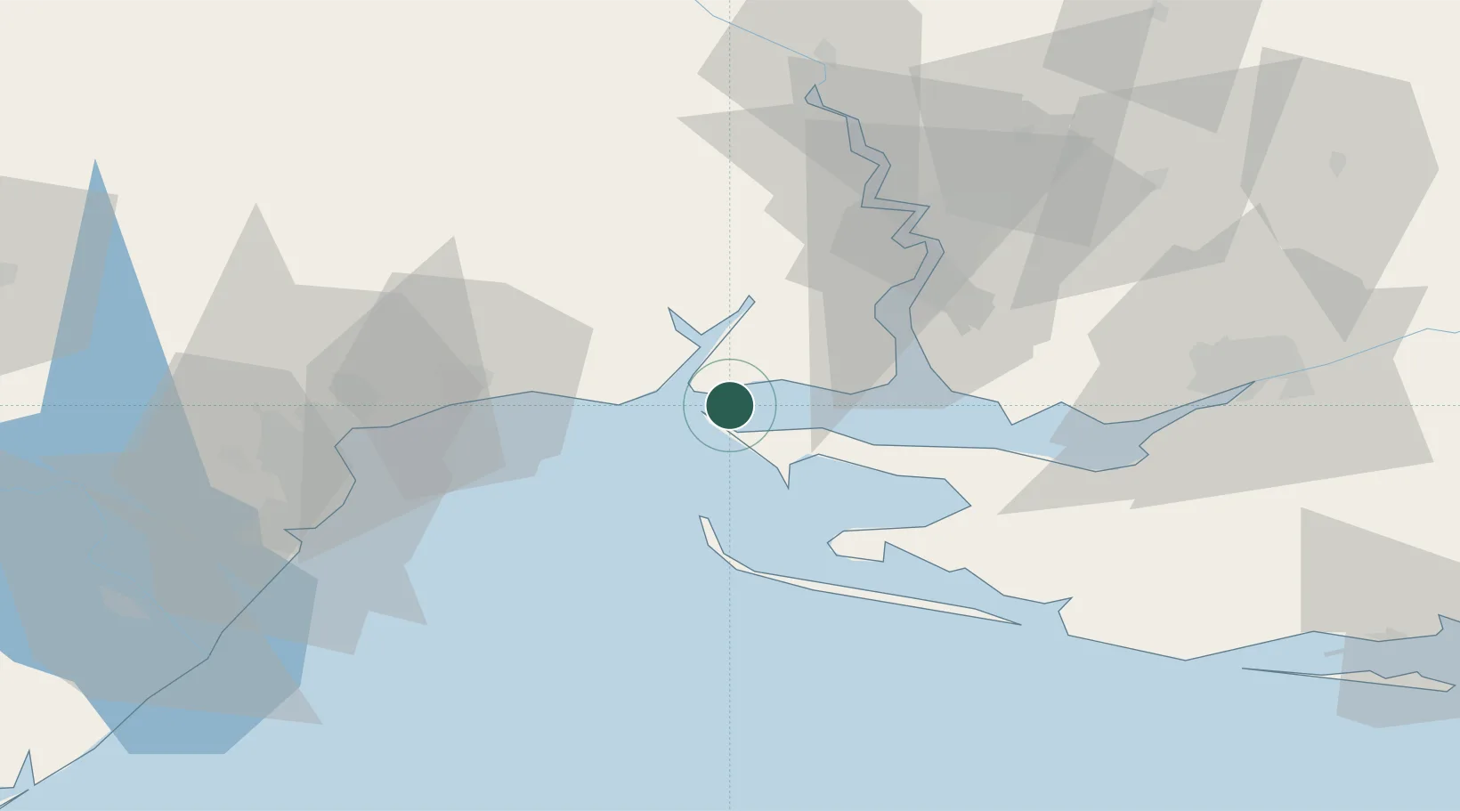
Location
Nearby Logistics Neighbours
Ports
- 1Port Oktyabrsk38 km
- 2Yuzhnyy42 km
- 3Mykolayiv50 km
- 4Odesa65 km
- 5Illichivsk78 km
Airports
DatabookThe Record of Consolidated Knowledge
Ukraine beyond logistics?