Transport Functions
Multimodal
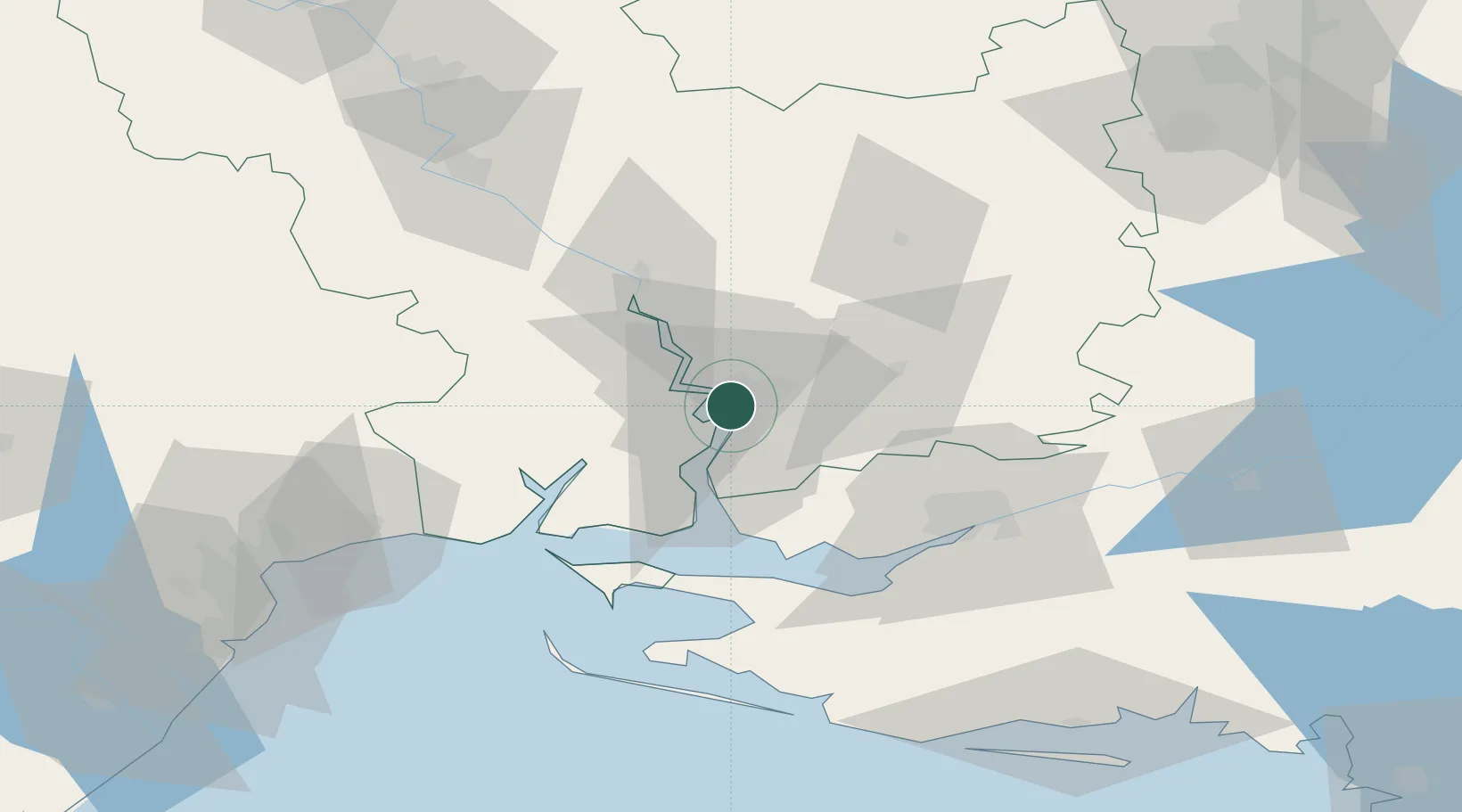
Hub Profile
Place type
Regional capital
Region
Mykolaiv
Population
470,011
Time zone
Europe/Kyiv
Elevation
42 m
Location
Nearby Logistics Neighbours
Cities
- 1Mykolaiv4 km
- 2Olviia15 km
- 3Chernobayevka52 km
- 4Ochakiv52 km
- 5Kherson61 km
Ports
- 1Mykolayiv2 km
- 2Port Oktyabrsk16 km
- 3Kherson60 km
- 4Yuzhnyy85 km
- 5Odesa111 km
Airports
DatabookThe Record of Consolidated Knowledge
Ukraine beyond logistics?