Transport Functions
Port
Rail
Road
Multimodal
Hub Profile
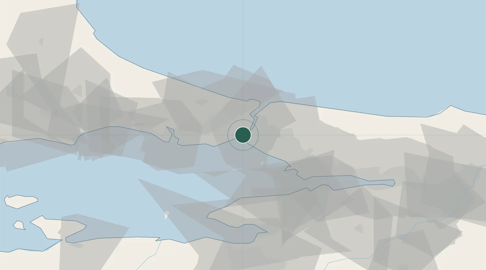
Place type
Urban district
Region
Istanbul
Time zone
Europe/Istanbul
Elevation
2 m
Location
Nearby Logistics Neighbours
Cities
- 1Karaköy/Istambul1 km
- 2Besiktas2 km
- 3Ortakoy2 km
- 4Hasköy3 km
- 5Beylerbeyi5 km
Ports
- 1Istanbul3 km
- 2Haydarpasa4 km
- 3Istinye10 km
- 4Ambarli26 km
- 5Gebze55 km
Airports
Trade Zones
DatabookThe Record of Consolidated Knowledge
Türkiye beyond logistics?