Medium airport · Türkiye

Samsun-Çarşamba AirportLTFH
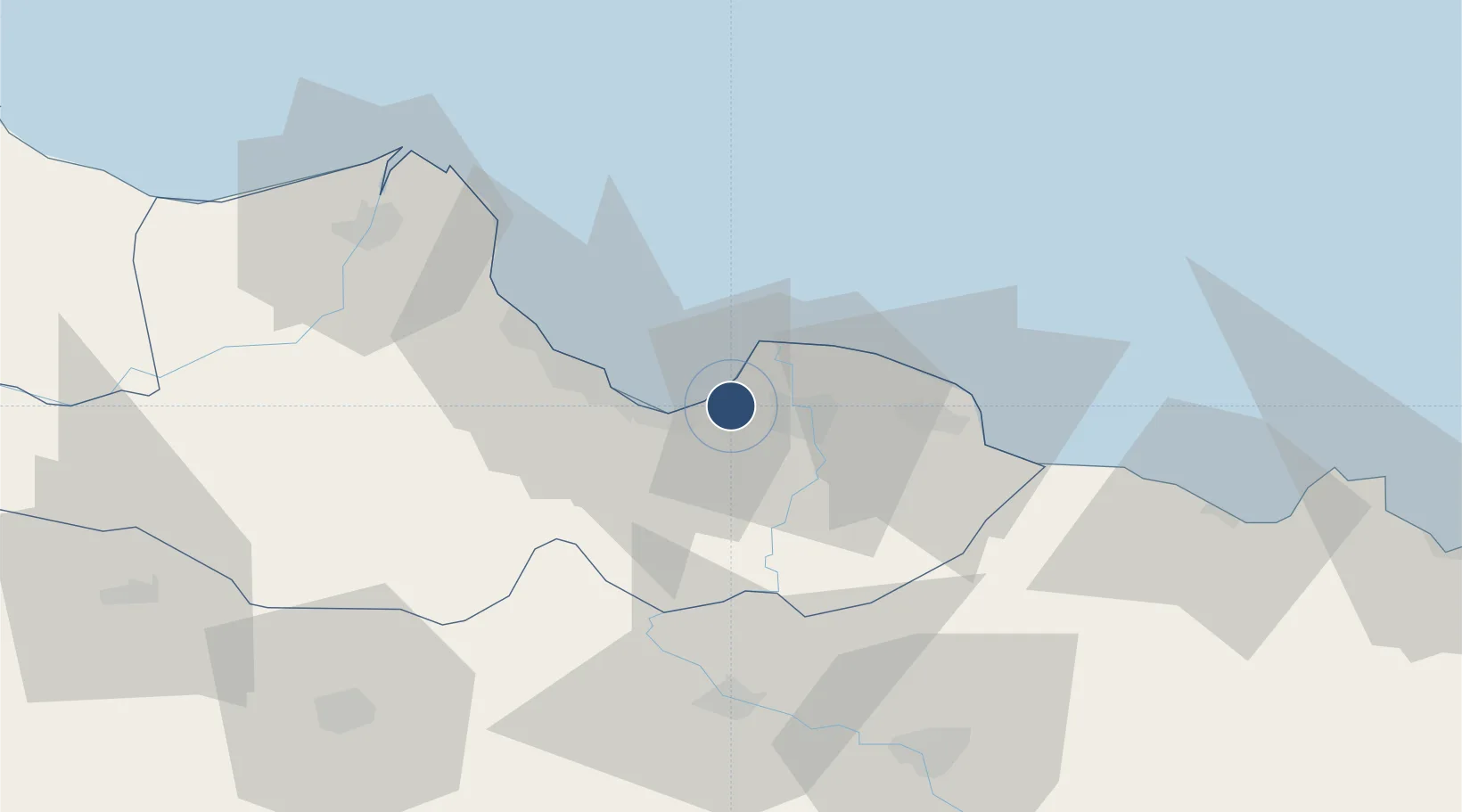
41.2540°, 36.5675°
9,843 ft
Longest runway
1
Runways
18 ft
Elevation

Runway & Layout

Samsun-Çarşamba Airport runway & taxiway layout
Runway & taxiway layout — OpenStreetMap (ODbL) / OurAirports

Radio Frequencies

ATIS
129.35 MHz
TWR
118.35 MHz
GND
121.7 MHz
APP
118.175 MHz
OurAirports

Navaids

CRM VOR-DME Carsamba 112.80 MHz
CRM NDB Carsamba 325 kHz
OurAirports

Runways · 1

RunwayDimensions SurfaceTrue headingLit
13/31 9,843 × 148ft Concrete 134°
OurAirports

Airport Specifications

IATA code
SZF
OurAirports
ICAO code
LTFH
OurAirports
Airport class
Medium airport
OurAirports
Scheduled service
Yes
OurAirports
Runway surface
Concrete
OurAirports
Served city
Samsun
OurAirports

Location

Location of LTFH
Natural Earth 10m (public domain) · Samsun · LTFH · 41.25, 36.57GoogleOSMYandex

Nearby Logistics Neighbours

Airports
  1. 1Amasya Merzifon Airport100 km
  2. 2Tokat Airport104 km
  3. 3Ordu–Giresun Airport131 km
  4. 4Sinop Airport151 km
  5. 5Sivas Nuri Demirağ Airport163 km
Nearest neighbours — logibook spatial index (haversine) over the source coordinates
Cities
  1. 1Samsun20 km
  2. 2Gerze53 km
  3. 3Büyükçukur54 km
  4. 4Ünye61 km
  5. 5Fatsa81 km
Nearest neighbours — logibook spatial index (haversine) over the source coordinates
Ports
  1. 1Samsun19 km
  2. 2Ordu114 km
  3. 3Sinop146 km
  4. 4Giresun158 km
  5. 5Inebolu247 km
Nearest neighbours — logibook spatial index (haversine) over the source coordinates
Trade Zones
  1. 1Samsun Merkez Organized Industrial Zone11 km
  2. 2Samsun Free Zone20 km
  3. 3Amasya Merzifon Organized Industrial Zone103 km
  4. 4Tokat Merkez Organized Industrial Zone103 km
  5. 5Corum Organized Industrial Zone167 km
Nearest neighbours — logibook spatial index (haversine) over the source coordinates
DatabookThe Record of Consolidated Knowledge
Türkiye beyond logistics?
Browse databook

All Sources

AirportsOurAirports
Public domain
Portsthe NGA World Port Index
Public domain (US gov)
LocationsUN/LOCODE
UN/LOCODE — free
Trade Zonesthe World Bank SEZ database
CC BY 4.0
Trade ZonesOpen Zone Map
CC BY
InfrastructureOpenStreetMap
ODbL 1.0
← Türkiye airports