Transport Functions
Port
Hub Profile
Place type
Populated place
Region
Bolu
Time zone
Europe/Istanbul
Elevation
392 m
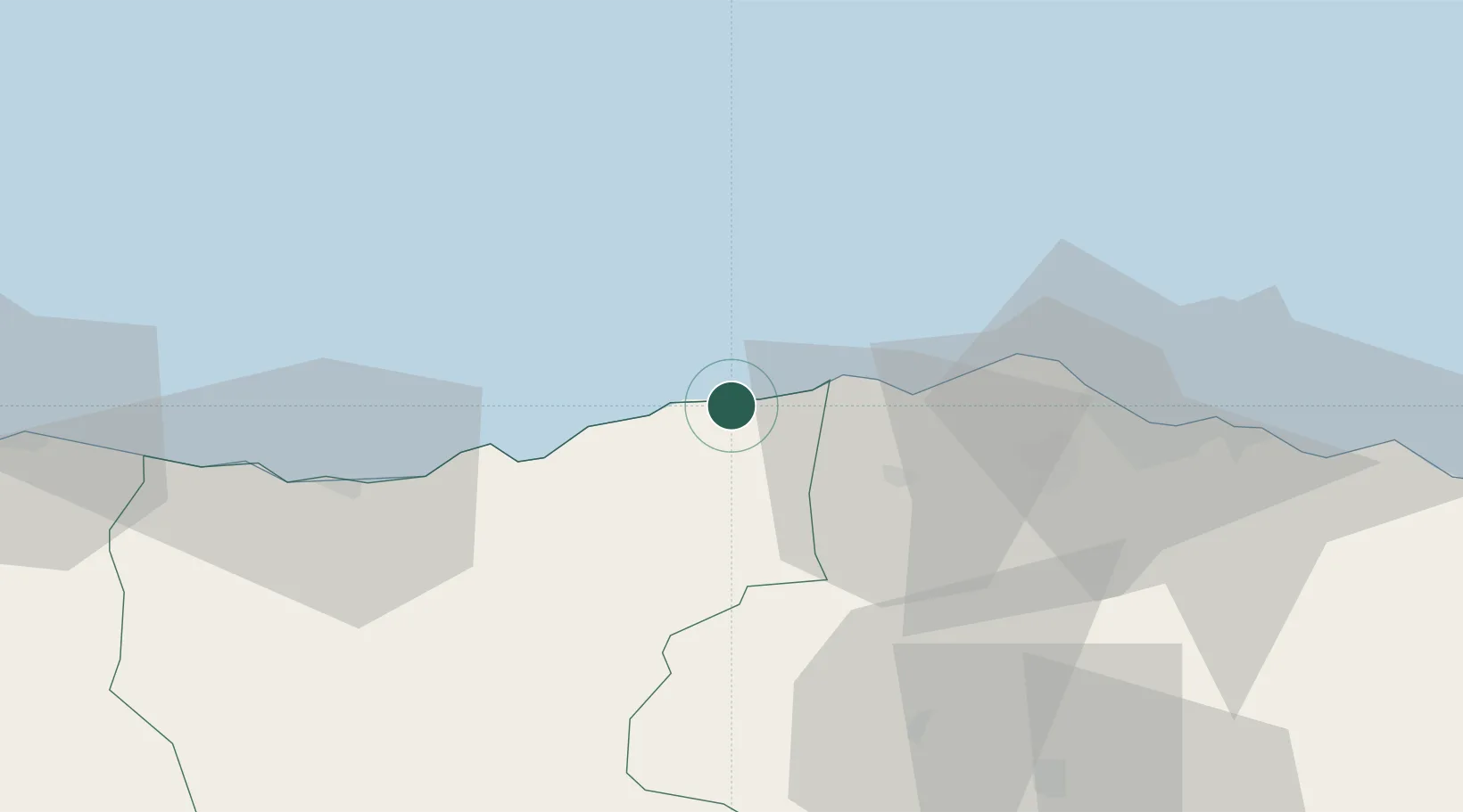
Location
Nearby Logistics Neighbours
Cities
- 1Tirebolu17 km
- 2Vakfikebir22 km
- 3Akçaabat48 km
- 4Giresun53 km
- 5Trabzon62 km
Airports
- 1Trabzon International Airport66 km
- 2Ordu–Giresun Airport77 km
- 3Erzincan Airport154 km
- 4Rize–Artvin Airport156 km
- 5Samsun-Çarşamba Airport205 km
Trade Zones
DatabookThe Record of Consolidated Knowledge
Türkiye beyond logistics?