Transport Functions
Port
Hub Profile
Place type
Provincial seat
Region
Trabzon
Population
37,728
Time zone
Europe/Istanbul
Elevation
12 m
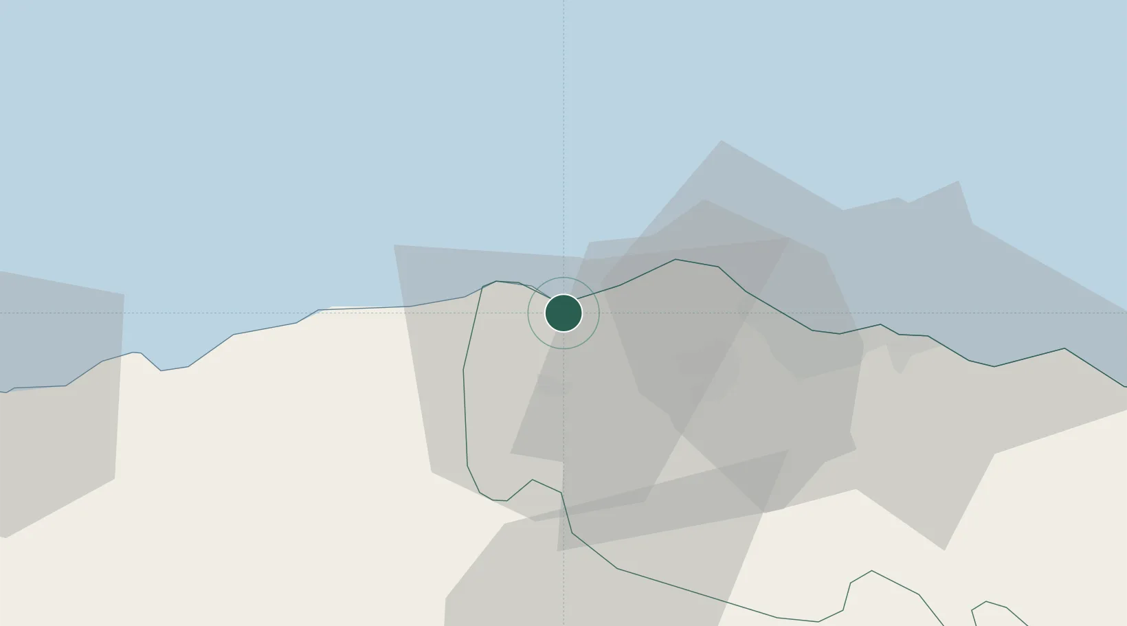
Location
Nearby Logistics Neighbours
Airports
- 1Trabzon International Airport44 km
- 2Ordu–Giresun Airport99 km
- 3Rize–Artvin Airport134 km
- 4Erzincan Airport149 km
- 5Erzurum International Airport201 km
Trade Zones
DatabookThe Record of Consolidated Knowledge
Türkiye beyond logistics?