Transport Functions
Port
Hub Profile
Place type
Provincial seat
Region
Giresun
Population
17,124
Time zone
Europe/Istanbul
Elevation
29 m
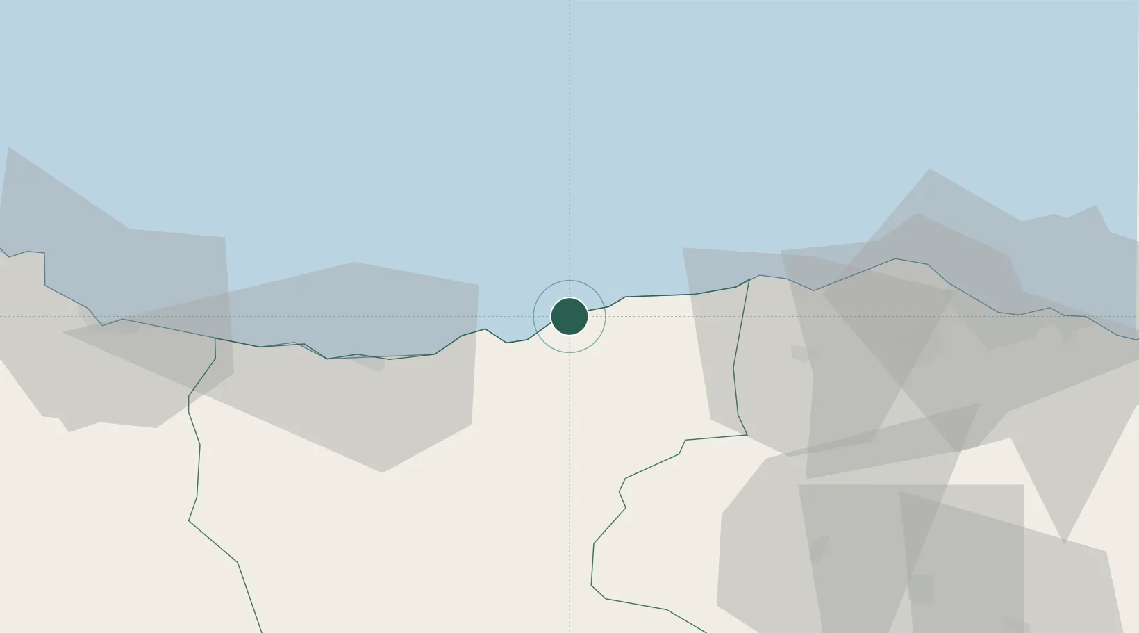
Location
Nearby Logistics Neighbours
Cities
- 1Görele17 km
- 2Giresun36 km
- 3Vakfikebir39 km
- 4Akçaabat64 km
- 5Ordu78 km
Airports
- 1Ordu–Giresun Airport60 km
- 2Trabzon International Airport83 km
- 3Erzincan Airport156 km
- 4Rize–Artvin Airport173 km
- 5Samsun-Çarşamba Airport189 km
Trade Zones
DatabookThe Record of Consolidated Knowledge
Türkiye beyond logistics?