Small airport · Türkiye

Sivas Nuri Demirağ AirportLTAR
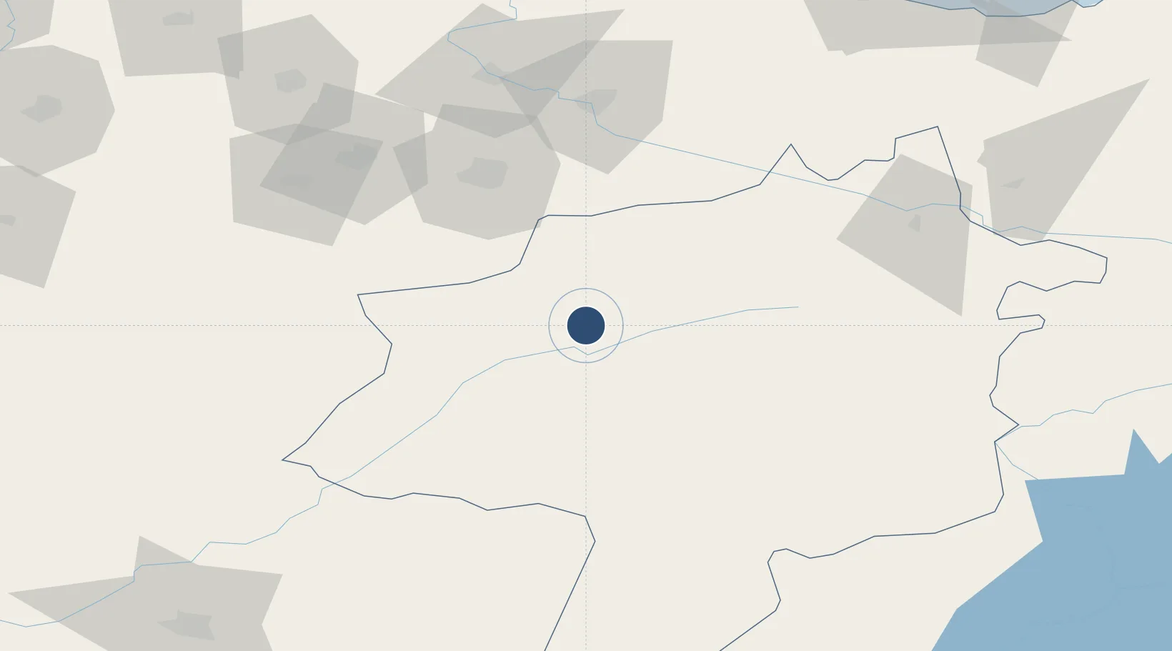
39.8138°, 36.9035°
12,503 ft
Longest runway
1
Runways
5,239 ft
Elevation

Runway & Layout

Sivas Nuri Demirağ Airport runway & taxiway layout
Runway & taxiway layout — OpenStreetMap (ODbL) / OurAirports

Radio Frequencies

TWR
118.1 MHz
GND
121.9 MHz
OurAirports

Navaids

SIV VOR-DME Sivas 114.20 MHz
SIV NDB Sivas 310 kHz
OurAirports

Runways · 1

RunwayDimensions SurfaceTrue headingLit
01/19 12,503 × 148ft Concrete 018°
OurAirports

Airport Specifications

IATA code
VAS
OurAirports
ICAO code
LTAR
OurAirports
Airport class
Small airport
OurAirports
Scheduled service
Yes
OurAirports
Runway surface
Concrete
OurAirports
Served city
Sivas
OurAirports

Location

Location of LTAR
Natural Earth 10m (public domain) · Sivas · LTAR · 39.81, 36.90GoogleOSMYandex

Nearby Logistics Neighbours

Airports
  1. 1Tokat Airport72 km
  2. 2Samsun-Çarşamba Airport163 km
  3. 3Ordu–Giresun Airport163 km
  4. 4Amasya Merzifon Airport163 km
  5. 5Kayseri Erkilet International Airport168 km
Nearest neighbours — logibook spatial index (haversine) over the source coordinates
Cities
  1. 1Armutlu44 km
  2. 2Aydinlik Koy134 km
  3. 3Fatsa144 km
  4. 4Ünye150 km
  5. 5Ordu154 km
Nearest neighbours — logibook spatial index (haversine) over the source coordinates
Ports
  1. 1Ordu156 km
  2. 2Samsun172 km
  3. 3Giresun178 km
  4. 4Trabzon277 km
  5. 5Sinop288 km
Nearest neighbours — logibook spatial index (haversine) over the source coordinates
DatabookThe Record of Consolidated Knowledge
Türkiye beyond logistics?
Browse databook

All Sources

AirportsOurAirports
Public domain
Portsthe NGA World Port Index
Public domain (US gov)
LocationsUN/LOCODE
UN/LOCODE — free
Trade Zonesthe World Bank SEZ database
CC BY 4.0
Trade ZonesOpen Zone Map
CC BY
InfrastructureOpenStreetMap
ODbL 1.0
← Türkiye airports