Transport Functions
Port
Hub Profile
Place type
Provincial seat
Region
Ordu
Population
82,160
Time zone
Europe/Istanbul
Elevation
2 m
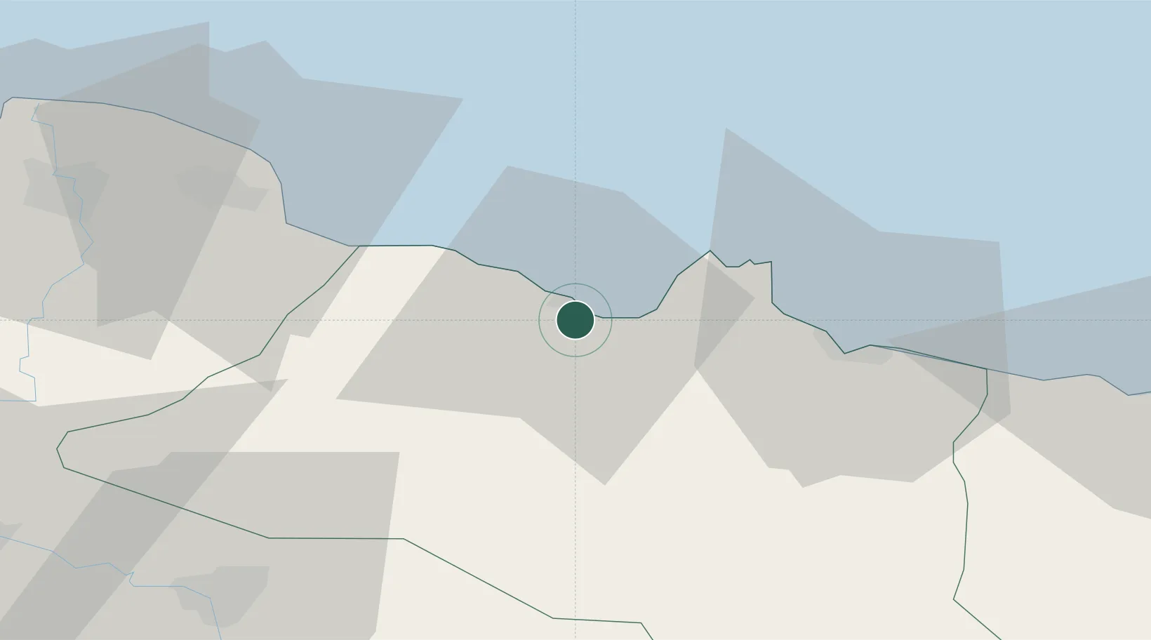
Location
Nearby Logistics Neighbours
Airports
- 1Ordu–Giresun Airport51 km
- 2Samsun-Çarşamba Airport81 km
- 3Tokat Airport121 km
- 4Sivas Nuri Demirağ Airport144 km
- 5Amasya Merzifon Airport166 km
Trade Zones
DatabookThe Record of Consolidated Knowledge
Türkiye beyond logistics?