Seaport · Türkiye
SamsunTRSSX
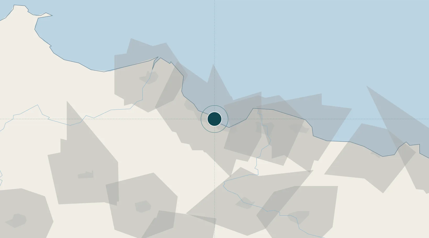
41.3000°, 36.3500°
11.0 m
Channel depth
1
Container terminals
22.1
Port liner connectivity
Channel & Berth Profile
Pilotage, Tugs & Services
Pilotage compulsoryYES
Pilotage availableYES
Tug assistanceYES
Potable waterYES
Diesel bunkersYES
MedicalYES
Garbage disposalYES
Facilities & Capabilities
Container—
Ro-Ro—
Liquid bulk—
Dry bulk—
Oil terminal—
Break bulk—
Dry dock—
RepairsNO
BunkeringYES
Rail linkYES
Dangerous cargo—
ISPS security—
Harbour Specifications
Harbour size
Large
Harbour type
Coastal (Breakwater)
Shelter
Fair
Water body
Black Sea; North Atlantic Ocean
Tidal range
1 m
Pilotage
Yes
Liner Connectivity
22.1
PLSCI
Port Liner Shipping Connectivity Index for Samsun, as published by UNCTAD for the latest available quarter. Higher values indicate stronger scheduled liner-shipping integration.
Shown relative to the highest per-port PLSCI in the dataset (1,657.9).
Location
Container Terminals · 1
SAMSUN PORT
SAMP CEYNAK GROUP
Nearby Logistics Neighbours
Cities
- 1Gerze40 km
- 2Büyükçukur41 km
- 3Aydinlik Koy77 km
- 4Ünye80 km
- 5Fatsa99 km
Airports
- 1Samsun-Çarşamba Airport19 km
- 2Amasya Merzifon Airport87 km
- 3Tokat Airport109 km
- 4Sinop Airport133 km
- 5Ordu–Giresun Airport150 km
Trade Zones
DatabookThe Record of Consolidated Knowledge
Türkiye beyond logistics?