Transport Functions
Port
Hub Profile
Place type
Regional capital
Region
Ordu
Population
229,214
Time zone
Europe/Istanbul
Elevation
11 m
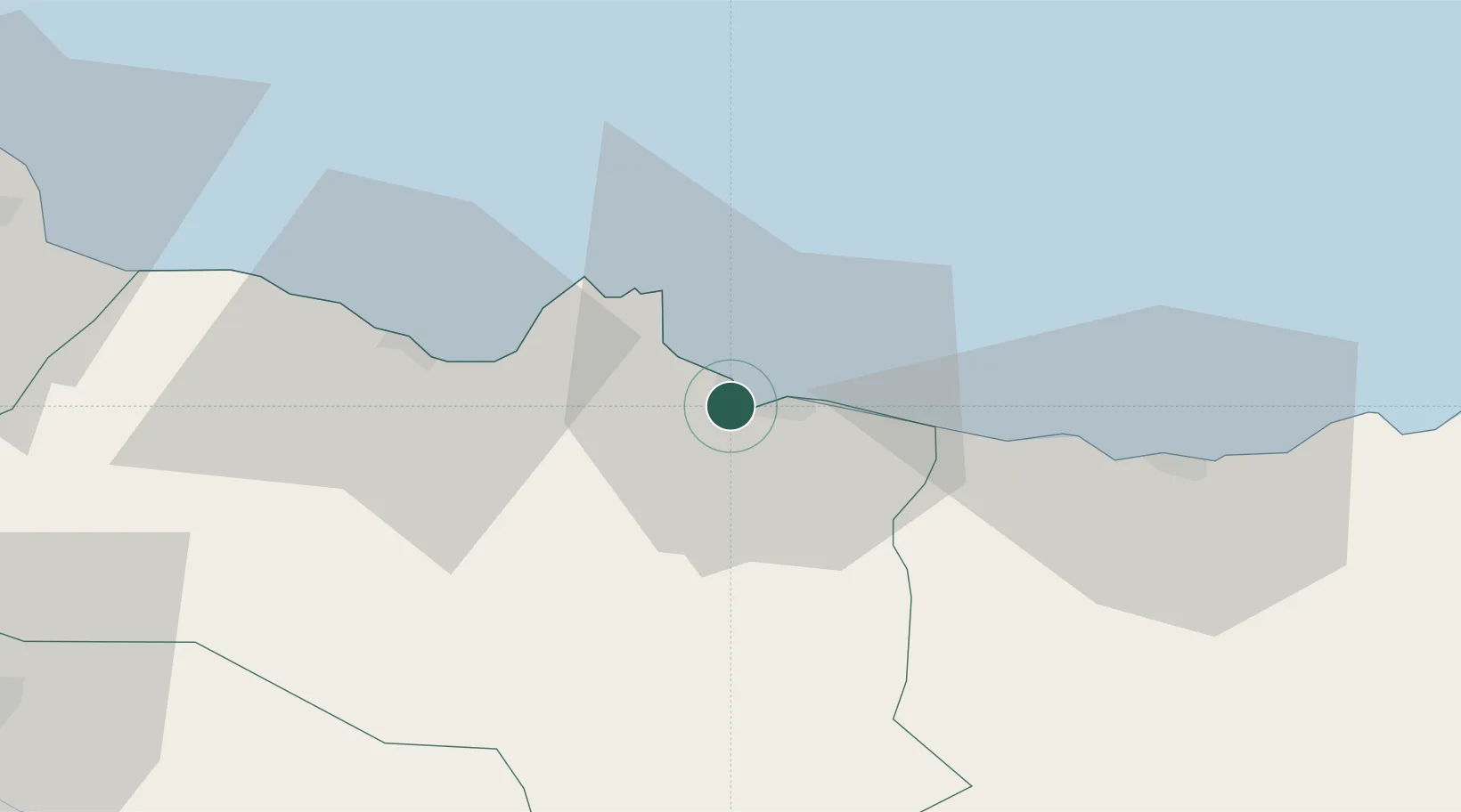
Location
Nearby Logistics Neighbours
Airports
- 1Ordu–Giresun Airport19 km
- 2Samsun-Çarşamba Airport113 km
- 3Tokat Airport145 km
- 4Sivas Nuri Demirağ Airport154 km
- 5Trabzon International Airport161 km
Trade Zones
DatabookThe Record of Consolidated Knowledge
Türkiye beyond logistics?