Medium airport · Türkiye

Ordu–Giresun AirportLTCB
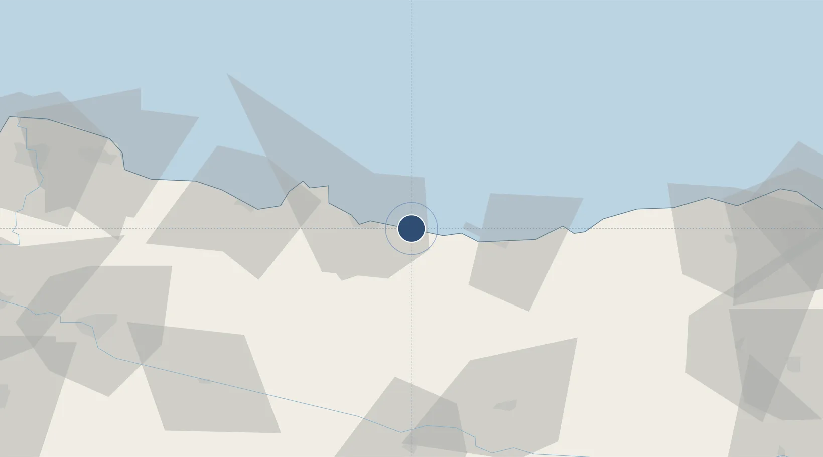
40.9669°, 38.0860°
9,848 ft
Longest runway
1
Runways
11 ft
Elevation

Runway & Layout

Ordu–Giresun Airport runway & taxiway layout
Runway & taxiway layout — OpenStreetMap (ODbL) / OurAirports

Runways · 1

RunwayDimensions SurfaceTrue headingLit
10/28 9,848 × 148ft ASPH 102°
OurAirports

Airport Specifications

IATA code
OGU
OurAirports
ICAO code
LTCB
OurAirports
Airport class
Medium airport
OurAirports
Scheduled service
Yes
OurAirports
Runway surface
ASPH
OurAirports
Served city
Ordu
OurAirports

Location

Location of LTCB
Natural Earth 10m (public domain) · Giresun · LTCB · 40.97, 38.09GoogleOSMYandex

Nearby Logistics Neighbours

Airports
  1. 1Samsun-Çarşamba Airport131 km
  2. 2Trabzon International Airport143 km
  3. 3Tokat Airport160 km
  4. 4Sivas Nuri Demirağ Airport163 km
  5. 5Erzincan Airport186 km
Nearest neighbours — logibook spatial index (haversine) over the source coordinates
Cities
  1. 1Ordu19 km
  2. 2Giresun26 km
  3. 3Fatsa51 km
  4. 4Tirebolu60 km
  5. 5Ünye70 km
Nearest neighbours — logibook spatial index (haversine) over the source coordinates
Ports
  1. 1Ordu17 km
  2. 2Giresun27 km
  3. 3Trabzon141 km
  4. 4Samsun150 km
  5. 5Rize204 km
Nearest neighbours — logibook spatial index (haversine) over the source coordinates
Trade Zones
  1. 1Trabzon Free Zone139 km
  2. 2Samsun Merkez Organized Industrial Zone141 km
  3. 3Samsun Free Zone151 km
  4. 4Tokat Merkez Organized Industrial Zone152 km
  5. 5Sivas Merkez I.Organized Industrial Zone155 km
Nearest neighbours — logibook spatial index (haversine) over the source coordinates
DatabookThe Record of Consolidated Knowledge
Türkiye beyond logistics?
Browse databook

All Sources

AirportsOurAirports
Public domain
Portsthe NGA World Port Index
Public domain (US gov)
LocationsUN/LOCODE
UN/LOCODE — free
Trade Zonesthe World Bank SEZ database
CC BY 4.0
Trade ZonesOpen Zone Map
CC BY
InfrastructureOpenStreetMap
ODbL 1.0
← Türkiye airports