Transport Functions
Port
Hub Profile
Place type
Regional capital
Region
Giresun
Population
125,682
Time zone
Europe/Istanbul
Elevation
39 m
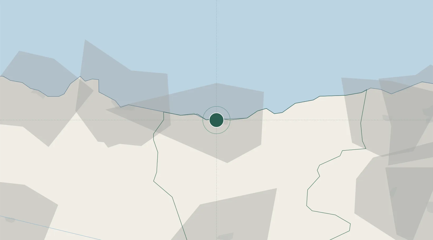
Location
Nearby Logistics Neighbours
Cities
- 1Tirebolu36 km
- 2Ordu44 km
- 3Görele53 km
- 4Vakfikebir75 km
- 5Fatsa77 km
Airports
- 1Ordu–Giresun Airport26 km
- 2Trabzon International Airport118 km
- 3Samsun-Çarşamba Airport157 km
- 4Erzincan Airport166 km
- 5Sivas Nuri Demirağ Airport175 km
Trade Zones
DatabookThe Record of Consolidated Knowledge
Türkiye beyond logistics?