UN/LOCODE hub · Türkiye
TRYAR

Yarimca

40.7617°, 29.7428°
1
Transport functions
1
Container terminals

Transport Functions

Port
Yarimca is also a profiled seaport →
UN/LOCODE

Hub Profile

Place type
Populated place
GeoNames
Region
Eskişehir
GeoNames
Time zone
Europe/Istanbul
GeoNames
Elevation
1,238 m
GeoNames
Logistics facilities
1
UN/LOCODE
Container terminals
1
UN/LOCODE

Location

Location of TRYAR
Natural Earth 10m (public domain) · Eskişehir · TRYAR · 40.76, 29.74GoogleOSMYandex

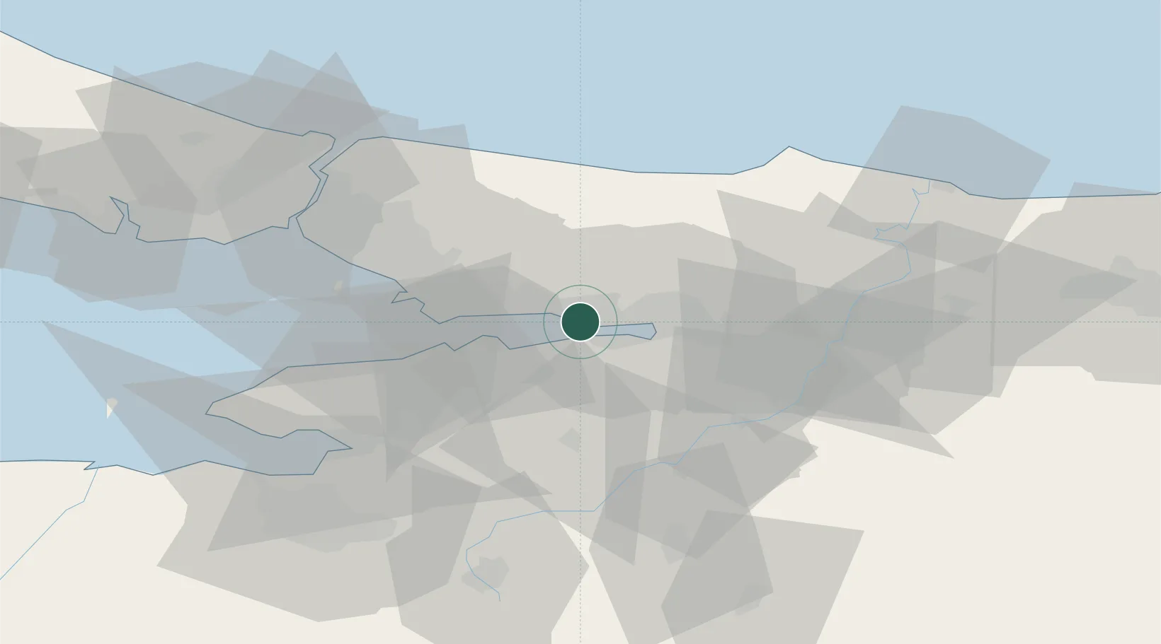
Nearby Logistics Neighbours

Cities
  1. 1Izmit0 km
  2. 2Körfez3 km
  3. 3Evyap Port /Kocaeli4 km
  4. 4Derince5 km
  5. 5Yeniköy-Autoport12 km
Nearest neighbours — logibook spatial index (haversine) over the source coordinates
Ports
  1. 1Derince Burnu6 km
  2. 2Golcuk Burnu7 km
  3. 3Izmit15 km
  4. 4Gebze16 km
  5. 5Gemlik65 km
Nearest neighbours — logibook spatial index (haversine) over the source coordinates
Airports
  1. 1Cengiz Topel Airport29 km
  2. 2Istanbul Sabiha Gökçen International Airport40 km
  3. 3İstanbul Samandıra Army Air Base51 km
  4. 4Bursa Yenişehir Airport58 km
  5. 5İstanbul Atatürk Airport81 km
Nearest neighbours — logibook spatial index (haversine) over the source coordinates
DatabookThe Record of Consolidated Knowledge
Türkiye beyond logistics?
Browse databook

All Sources

LocationsUN/LOCODE
UN/LOCODE — free
Portsthe NGA World Port Index
Public domain (US gov)
AirportsOurAirports
Public domain
Trade Zonesthe World Bank SEZ database
CC BY 4.0
Trade ZonesOpen Zone Map
CC BY
← Türkiye locations