UN/LOCODE hub · Türkiye
TRDRC
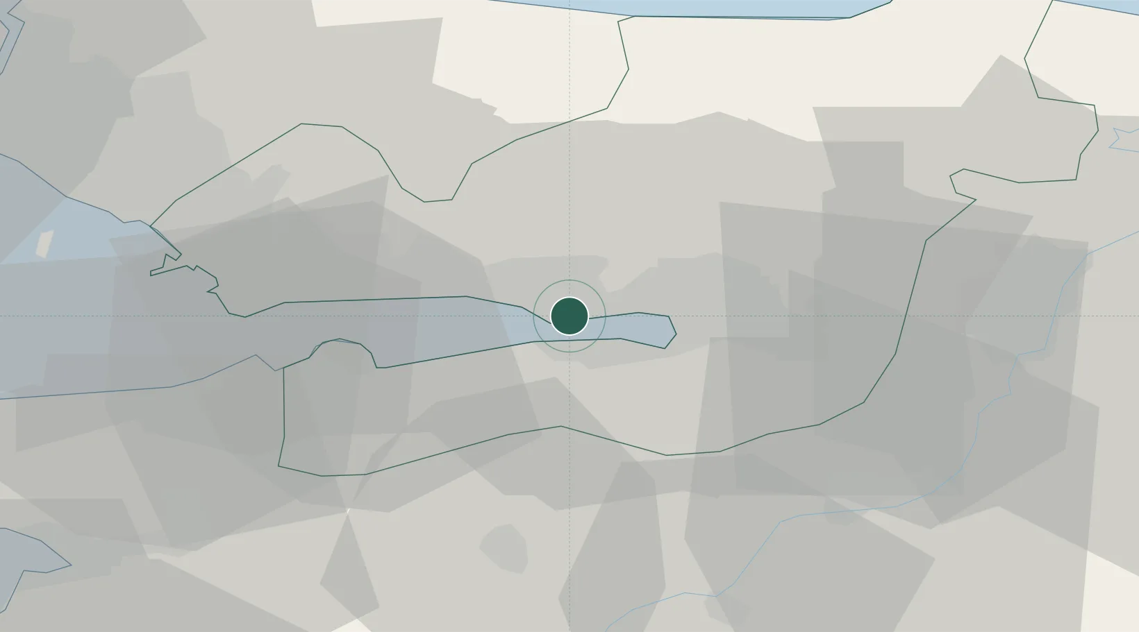
Derince
40.7584°, 29.8000°
125,485
Population
2
Transport functions
1
Container terminals
Transport Functions
Port
Road
Hub Profile
Place type
Provincial seat
Region
Kocaeli
Population
125,485
Time zone
Europe/Istanbul
Elevation
42 m
Logistics facilities
3
Container terminals
1
Location
Nearby Logistics Neighbours
Cities
- 1Izmit5 km
- 2Yarimca5 km
- 3Yeniköy-Autoport7 km
- 4Körfez8 km
- 5Evyap Port /Kocaeli9 km
Ports
- 1Golcuk Burnu3 km
- 2Yarimca10 km
- 3Izmit10 km
- 4Gebze21 km
- 5Gemlik69 km
Airports
DatabookThe Record of Consolidated Knowledge
Türkiye beyond logistics?